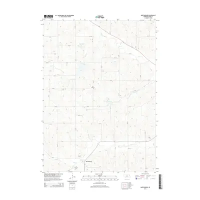
2014 Map of Martinsburg
USGS Topo · Published 2014About this map
Martinsburg sits at the southern edge of this Dixon County survey, where the township grid meets the winding path of South Cr. The landscape is defined by an intricate network of waterways draining toward the northeast, including Silver Cr, Powder Cr, and Aowa Cr. These drainage patterns are modernly managed by several impoundments, most notably Aowa Creek Reservoir 31-1 and Aowa Creek Reservoir 12-8.
Find a feature on this map
36 named features on this map. Tap any name to fly to it.
Don’t see what you’re looking for? This feature index may not catch every label — zoom into the map to look around manually.
Map Details
Editions of this 2014 Martinsburg Map
This is the sole edition of this map. No revisions or reprints were ever made.
Other maps of this area

1898 · Elk Point
USGS Topo · 1:125,000

1901 · Elk Point
USGS Topo · 1:125,000

1907 · Elk Point
USGS Topo · 1:125,000

1955 · Sioux City
USGS Topo · 1:250,000

1958 · Sioux City
USGS Topo · 1:250,000

1959 · Sioux City
USGS Topo · 1:250,000

1963 · Elk Point
USGS Topo · 1:24,000

1964 · Martinsburg SW
USGS Topo · 1:24,000

1964 · Burbank
USGS Topo · 1:24,000

1964 · Maskell
USGS Topo · 1:24,000
Featured Places
- Martinsburg, NE
- Wakefield Township, NE
- Silvercreek Township, NE
- Ottercreek Township, NE
- Newcastle Township, NE