2021 Map of Martinsburg
USGS Topo · Published 2021About this map
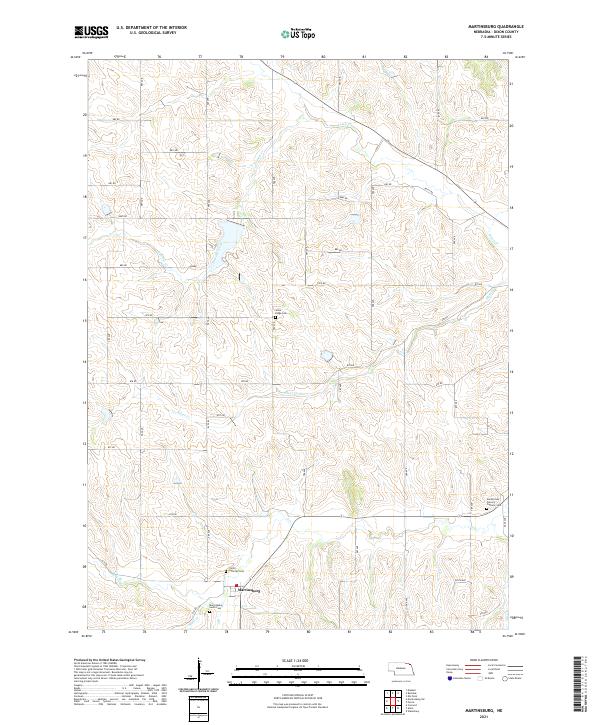
Martinsburg sits at the heart of this Dixon County landscape, surrounded by a high-density network of section roads like 876 Rd and 585 Ave that delineate the agricultural grid. This 2021 record highlights a strong community history preserved through its numerous spiritual and burial sites, including the Trinity Lutheran Cem and Martinsburg South Cem near the town center. The terrain is defined by the winding paths of several drainage systems, notably Silver Cr and Powder Creek, which carve through the elevations. The placement of the Southcreek Calvary Catholic Cem in the southeast and Silver Ridge Cem to the north suggests a widely distributed pattern of early settlement and family homesteading across these rural townships.
Find a feature on this map
42 named features on this map. Tap any name to fly to it.
Don’t see what you’re looking for? This feature index may not catch every label — zoom into the map to look around manually.
Map Details
Editions of this 2021 Martinsburg Map
This is the sole edition of this map. No revisions or reprints were ever made.
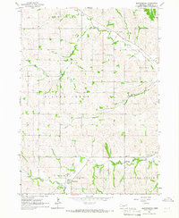
Historical Maps of Martinsburg Through Time
Featured Locations
- Ponca Township, NE
- Silvercreek Township, NE
- Wakefield Township, NE
- Ottercreek Township, NE
- Martinsburg, Wakefield Township