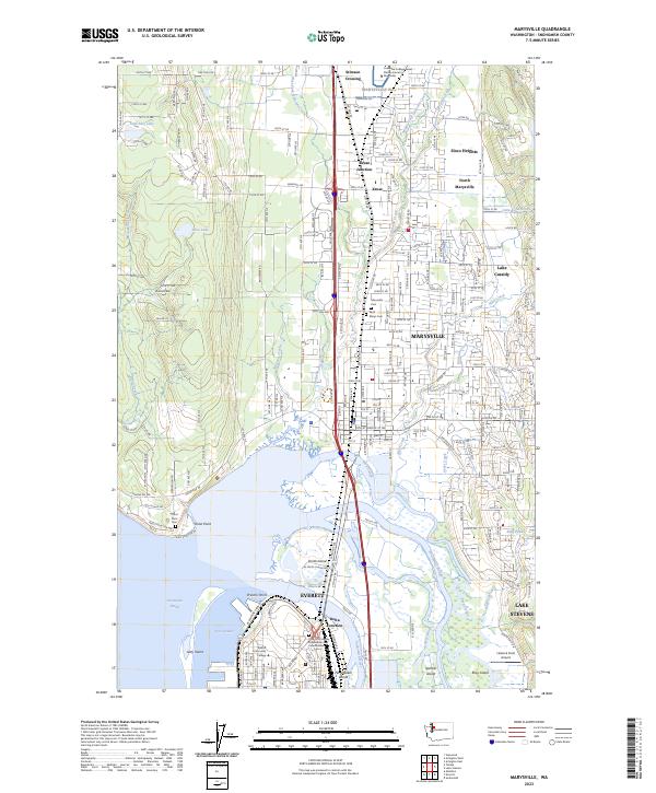
2023 Map of Marysville
USGS Topo · Published 2023About this map
Marysville and the north bank of the Snohomish River anchor this topographic study, revealing a landscape defined by the intricate waterways of the Puget Sound's eastern shore. The complex drainage of Quilceda Creek, including its West and Middle Forks, weaves through the timber and residential areas north of the city center. This area contains a concentration of long-established community landmarks, from the Marysville Cem and Saint Marys Cem to the modern educational facilities of Everett Community College.
Find a feature on this map
120 named features on this map. Tap any name to fly to it.
Don’t see what you’re looking for? This feature index may not catch every label — zoom into the map to look around manually.
Map Details
Editions of this 2023 Marysville Map
This is the sole edition of this map. No revisions or reprints were ever made.
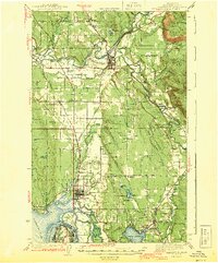
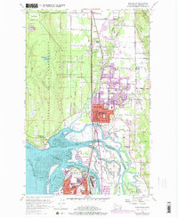
Historical Maps of Marysville Through Time
4 maps found