2024 Map of Masaryktown
USGS Topo · Published 2024About this map
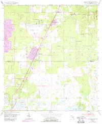
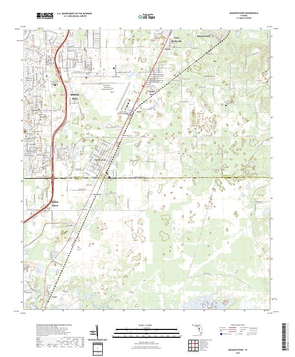
Masaryktown sits at the heart of this landscape, marking the transition between the urban expansion of Spring Hill and the agricultural lands along the Hernando Co Pasco Co line. The area is defined by a blend of infrastructure and quiet landmarks, including the large Brooksville-Tampa Bay Regional Airport and the recreational stretch of the Suncoast Trl. Local history is preserved at McGeachy Cem and Masaryktown Cem, while the natural lowlands are anchored by Crews Lake to the southwest. The grid of roads like Ayers Rd and Central Blvd organizes a territory of small settlements such as Garden Grove and Loyce, showing how residential development and transportation corridors have reshaped these former citrus and farming tracts.
Find a feature on this map
48 named features on this map. Tap any name to fly to it.
Don’t see what you’re looking for? This feature index may not catch every label — zoom into the map to look around manually.
Map Details
Editions of this 2024 Masaryktown Map
This is the sole edition of this map. No revisions or reprints were ever made.