2022 Map of Masonville
USGS Topo · Published 2022About this map
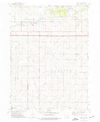
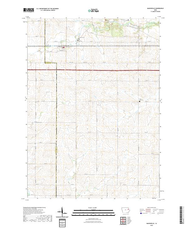
Masonville stands at the intersection of local history and modern agriculture on the border of Buchanan and Delaware counties. This rural landscape is defined by its deep roots, evidenced by several well-preserved burial grounds including Saint Mary Cem, Greenwood Cem, and Sand Creek Cem near the eastern margin. The grid of section roads is interrupted by the winding paths of Coffins Creek and Prairie Cr, which carve through the Iowa prairie. A significant historical remnant is found in the northern reaches, where Early Stagecoach Rd cuts a diagonal path across the rectilinear township lines, marking a transportation route that predates the modern highway system. The map illustrates how legacy landmarks like Coffins Grove Cem remain vital anchors in a landscape dominated by large-scale farming and quiet rural life.
Find a feature on this map
49 named features on this map. Tap any name to fly to it.
Don’t see what you’re looking for? This feature index may not catch every label — zoom into the map to look around manually.
Map Details
Editions of this 2022 Masonville Map
This is the sole edition of this map. No revisions or reprints were ever made.