Loading...
Loading map...2023 Map of Mather
USGS Topo · Published 2023About this map
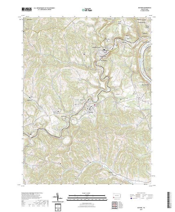
The Monongahela River and Tenmile Creek anchor a landscape defined by coal heritage and rural community life at the border of Washington and Greene counties. Significant residential plans like Teagarden Homes, Braden Plan, and Burson Plan cluster around Clarksville, while Mather serves as a central hub near the Browns Run Reservoir.
Find a feature on this map
132 named features on this map. Tap any name to fly to it.
Don’t see what you’re looking for? This feature index may not catch every label — zoom into the map to look around manually.
Map Details
Date Portrayed2023
Date Published2023
PublisherU.S. Geological Survey
Map TypeTopographic
Scale1:24000
Physical Dimensions24 x 29 inches
Editions of this 2023 Mather Map
This is the sole edition of this map. No revisions or reprints were ever made.
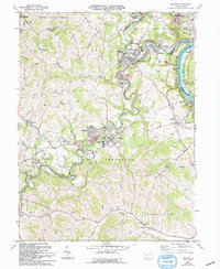
Historical Maps of Clarksville Hill Through Time
Featured Locations
Source Details
SourceU.S. Geological Survey
CopyrightPublic Domain