2023 Map of Mattituck
USGS Topo · Published 2023About this map
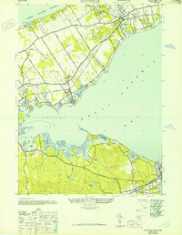
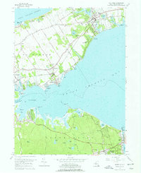
Mattituck and the surrounding North Fork hamlets define this coastal landscape where the land narrows between Long Island Sound and the intricate inlets of Flanders Bay. The map documents a deeply rooted agricultural and maritime pattern, with long-established cemeteries like Old Bethany Cem and New Bethany Cem serving as quiet landmarks of local genealogy. The interior is dotted with significant freshwater bodies such as Marratooka Pond and Laurel Lake, while the coastline is punctuated by sharp features like Miamogue Point and Brushs Point.
Find a feature on this map
160 named features on this map. Tap any name to fly to it.
Don’t see what you’re looking for? This feature index may not catch every label — zoom into the map to look around manually.
Map Details
Editions of this 2023 Mattituck Map
This is the sole edition of this map. No revisions or reprints were ever made.
Historical Maps of Aquebogue Through Time
3 maps found