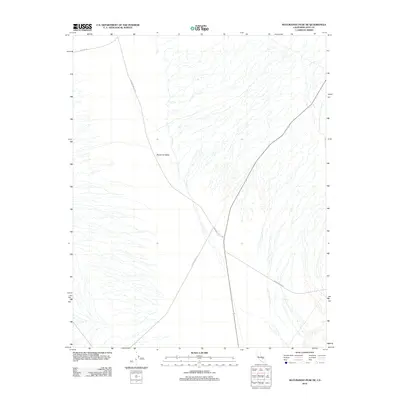
2012 Map of Maturango Peak NE
USGS Topo · Published 2012About this map
Panamint Valley dominates this 2012 survey, revealing the sparse transport network of this arid portion of Inyo County. The landscape is defined by the convergence of several remote desert thoroughfares, including Minietta Rd and the junction of Panamint Valley Rd and Slate Range Rd. These roads trace the alluvial fans and valley floor, providing the primary access to the region's isolated terrain. In the southeastern corner, the path of Indian Ranch Rd branches off toward the base of the mountains, marking one of the few points of human movement through this dry expanse. The map illustrates the minimal infrastructure typical of the high desert, where topographic features and seasonal drainage patterns dictate the placement of every route.
Find a feature on this map
5 named features on this map. Tap any name to fly to it.
Don’t see what you’re looking for? This feature index may not catch every label — zoom into the map to look around manually.
Map Details
Editions of this 2012 Maturango Peak NE Map
This is the sole edition of this map. No revisions or reprints were ever made.
Other maps of this area

1908 · Ballarat
USGS Topo · 1:250,000

1913 · Ballarat
USGS Topo · 1:250,000

1948 · Death Valley
USGS Topo · 1:250,000

1951 · Panamint Butte
USGS Topo · 1:62,500

1951 · Maturango Peak
USGS Topo · 1:62,500

1952 · Telescope Peak
USGS Topo · 1:62,500

1952 · Emigrant Canyon
USGS Topo · 1:62,500

1954 · Death Valley
USGS Topo · 1:250,000

1956 · Death Valley
USGS Topo · 1:250,000

1957 · Death Valley
USGS Topo · 1:250,000