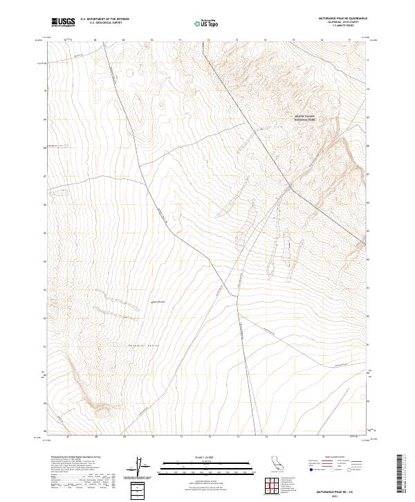
2021 Map of Maturango Peak NE
USGS Topo · Published 2021About this map
Panamint Valley dominates this arid landscape at the edge of the Mojave Desert, where the northeastern corner of the map transitions into the protected terrain of Death Valley National Park. The survey illustrates a stark, high-desert environment defined by alluvial fans and seasonal washes, navigated only by a sparse network of historic desert routes. Access to this remote region is documented through labels for Trona Wildrose Road and Panamint Valley Rd, which follow the natural contours of the valley floor. Researchers interested in the transit history of Inyo County will find the alignment of Minietta Rd and Nadeau Rd significant, as these pathways historically connected disparate mining camps and spring sites across the Panamint range. The map provides a clear look at the township and range boundaries that partitioned this vast public land.
Find a feature on this map
17 named features on this map. Tap any name to fly to it.
Don’t see what you’re looking for? This feature index may not catch every label — zoom into the map to look around manually.
Map Details
Editions of this 2021 Maturango Peak NE Map
This is the sole edition of this map. No revisions or reprints were ever made.
Other maps of this area

1908 · Ballarat
USGS Topo · 1:250,000

1913 · Ballarat
USGS Topo · 1:250,000

1948 · Death Valley
USGS Topo · 1:250,000

1951 · Panamint Butte
USGS Topo · 1:62,500

1951 · Maturango Peak
USGS Topo · 1:62,500

1952 · Telescope Peak
USGS Topo · 1:62,500

1952 · Emigrant Canyon
USGS Topo · 1:62,500

1954 · Death Valley
USGS Topo · 1:250,000

1956 · Death Valley
USGS Topo · 1:250,000

1957 · Death Valley
USGS Topo · 1:250,000