2023 Map of Mayhill
USGS Topo · Published 2023About this map
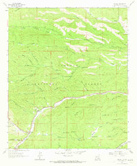
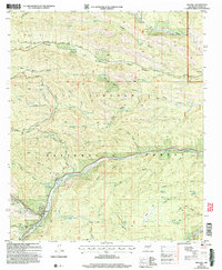
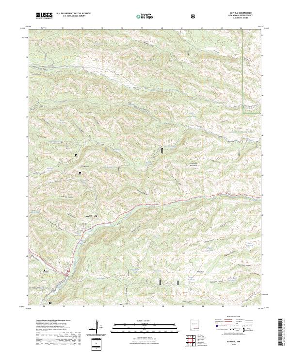
Mayhill sits at the intersection of several high-elevation drainages within the Sacramento Mountains, serving as a central point for the surrounding Lincoln National Forest. The landscape is defined by the Rio Peñasco, which flows through the southern portion of the quadrangle, flanked by numerous steep canyons including James Canyon and McGee Canyon. Water management is a primary feature of this arid terrain, as evidenced by a dense network of upland catchment systems like Latham Gap Tank, Packer Reservoir, and CCC Tank.
Find a feature on this map
71 named features on this map. Tap any name to fly to it.
Don’t see what you’re looking for? This feature index may not catch every label — zoom into the map to look around manually.
Map Details
Editions of this 2023 Mayhill Map
This is the sole edition of this map. No revisions or reprints were ever made.