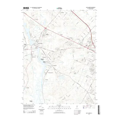
2014 Map of Mays Landing
USGS Topo · Published 2014About this map
Great Egg Harbor River and its numerous tributaries, including Miry Run, Gravelly Run, and Babcock Cr, define this Atlantic County landscape during the early 2010s. The area shows a complex network of small landings and communities such as High Bank Landing, Wilsons Landing, and Steelman Landing, which point to a long history of water-based access and settlement along the river's winding path.
Find a feature on this map
173 named features on this map. Tap any name to fly to it.
Don’t see what you’re looking for? This feature index may not catch every label — zoom into the map to look around manually.
Map Details
Editions of this 2014 Mays Landing Map
This is the sole edition of this map. No revisions or reprints were ever made.
Other maps of this area

1890 · Great Egg Harbor
USGS Topo · 1:62,500

1890 · Hammonton
USGS Topo · 1:62,500

1890 · Tuckahoe
USGS Topo · 1:62,500

1890 · Mullica
USGS Topo · 1:62,500

1893 · Great Egg Harbor
USGS Topo · 1:62,500

1893 · Tuckahoe
USGS Topo · 1:62,500

1894 · Hammonton
USGS Topo · 1:62,500

1894 · Mullica
USGS Topo · 1:62,500

1898 · Mullica
USGS Topo · 1:62,500

1898 · Hammonton
USGS Topo · 1:62,500
Featured Places
- Egg Harbor Township, NJ
- Galloway Township, NJ
- Hamilton Township, NJ
- Weymouth Township, NJ
- Estell Manor, NJ