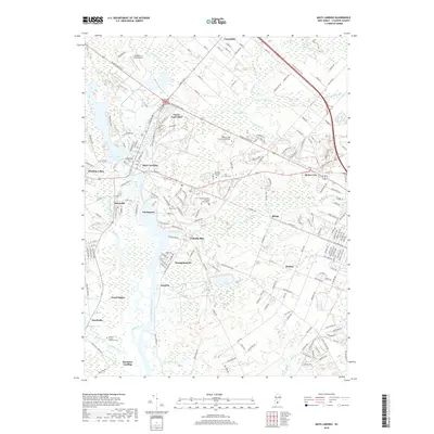
2019 Map of Mays Landing
USGS Topo · Published 2019About this map
Mays Landing serves as the focal point for this area of Atlantic County, where the Great Egg Harbor River meets the expansive Lake Lenape. The settlement pattern follows the river's winding path southward, connecting smaller locales like Clarkstown, Belcoville, and Steelman Landing. The geography is defined by a dense network of low-lying waterways and wetlands, including Babcock Swamp, Jack Pudding Br, and Miry Run, which break up the wooded terrain.
Find a feature on this map
44 named features on this map. Tap any name to fly to it.
Don’t see what you’re looking for? This feature index may not catch every label — zoom into the map to look around manually.
Map Details
Editions of this 2019 Mays Landing Map
This is the sole edition of this map. No revisions or reprints were ever made.
Other maps of this area

1890 · Great Egg Harbor
USGS Topo · 1:62,500

1890 · Hammonton
USGS Topo · 1:62,500

1890 · Tuckahoe
USGS Topo · 1:62,500

1890 · Mullica
USGS Topo · 1:62,500

1893 · Great Egg Harbor
USGS Topo · 1:62,500

1893 · Tuckahoe
USGS Topo · 1:62,500

1894 · Hammonton
USGS Topo · 1:62,500

1894 · Mullica
USGS Topo · 1:62,500

1898 · Mullica
USGS Topo · 1:62,500

1898 · Hammonton
USGS Topo · 1:62,500
Featured Places
- Egg Harbor Township, NJ
- Galloway Township, NJ
- Hamilton Township, NJ
- Weymouth Township, NJ
- Estell Manor, NJ