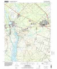
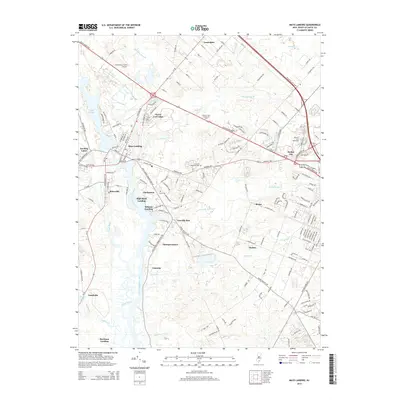
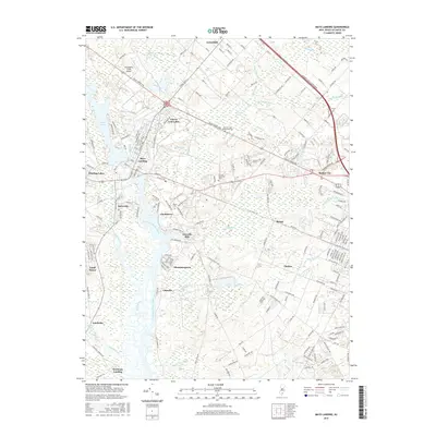
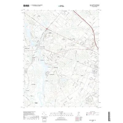
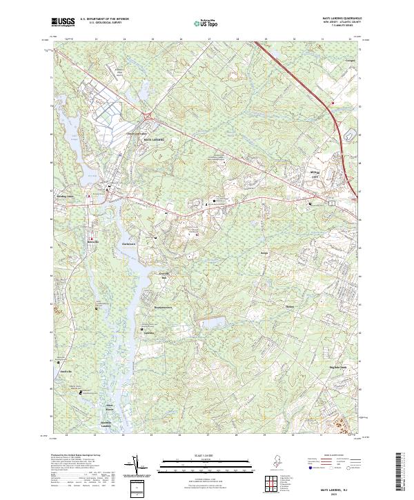
1995 Map of Mays Landing
USGS Topo · Published 2000About this map
The Great Egg Harbor River serves as the central artery for this part of Atlantic County, where the tide reaches up past Thompsontown and Catawba toward the historic community of Mays Landing. This 1995 survey illustrates a landscape defined by the transition from Pinelands wilderness to suburban development, with the Atlantic City Racetrack and Atlantic Community College anchoring the eastern side of the quadrangle. Local industry and land use are visible through features like the Atlantic Blueberry Co Airstrip and numerous claypits, alongside significant institutional presence at the Atlantic County Correctional Institution. Significant recreational and natural spaces, including Lake Lenape and Weymouth County Park, contrast with the infrastructure of the Atlantic City Toll Road Expressway. Genealogists may find value in the locations of Union Cem and Lakewood Chapel, providing touchpoints for the early settlements of Belcoville and Estellville.
Find a feature on this map
67 named features on this map. Tap any name to fly to it.
Don’t see what you’re looking for? This feature index may not catch every label — zoom into the map to look around manually.
Map Details
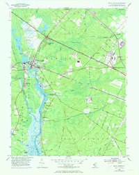
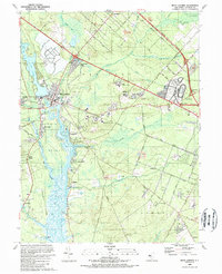
Editions of this 1995 Mays Landing Map
This is the sole edition of this map. No revisions or reprints were ever made.
Historical Maps of Egg Harbor Township Through Time
8 maps found
Featured Locations
- Galloway Township, NJ
- Hamilton Township, NJ
- Weymouth Township, NJ
- Egg Harbor Township, NJ
- Estell Manor, NJ