
1972 Map of McCool
USGS Topo · Published 1973About this map
The Illinois Central railroad corridor anchors the small community of McCool along the Yockanookany River in this early 1970s survey. The map details a landscape transition from the river bottomlands to the wooded Ironstone Hills, which rise to the southeast. Local history is deeply embedded in the rural road network, marked by numerous small churches and family-named cemeteries. Near the town site, researchers can locate Mt Pilgrim Cem and the Cem, while further south the map preserves the location of Old Bowie Cem and Bowie Chapel. Numerous sandpits dot the northwestern section of the quadrangle, indicating small-scale local mineral extraction near Bear Creek. To the far south, the settlement of Kerr sits near the confluence of Bridge Creek and Hurricane Creek, where the local terrain is deeply etched by a network of small tributaries including Wildcat Creek and Rawhide Branch.
Find a feature on this map
29 named features on this map. Tap any name to fly to it.
Don’t see what you’re looking for? This feature index may not catch every label — zoom into the map to look around manually.
Map Details
Editions of this 1972 McCool Map
This is the sole edition of this map. No revisions or reprints were ever made.
Other maps of this area

1953 · West Point
USGS Topo · 1:250,000

1958 · West Point
USGS Topo · 1:250,000

1963 · West Point
USGS Topo · 1:250,000

1966 · Weir
USGS Topo · 1:24,000

1966 · French Camp
USGS Topo · 1:24,000

1968 · Weir
USGS Topo · 1:62,500

1972 · Highpoint
USGS Topo · 1:24,000
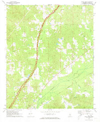
1972 · Ethel North
USGS Topo · 1:24,000
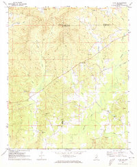
1972 · Ethel SE
USGS Topo · 1:24,000
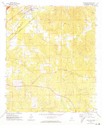
1972 · Ethel South
USGS Topo · 1:24,000