Loading...
Loading map...2021 Map of McFall
USGS Topo · Published 2021About this map
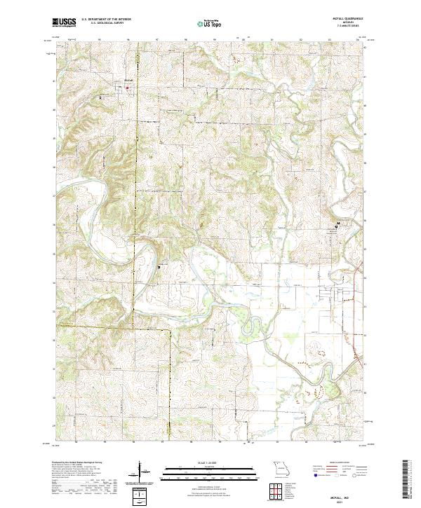
McFall is the primary community on this northwestern Missouri landscape, situated near the corner of Gentry, Daviess, and DeKalb counties. The town is anchored near the northern edge of the map, with the McFall Cem nearby. The terrain is defined by the winding course of the Grand River, which snakes across the center of the sheet, joined by numerous tributaries including Groomer Br, Goose Cr, and Sampson Cr.
Find a feature on this map
41 named features on this map. Tap any name to fly to it.
Don’t see what you’re looking for? This feature index may not catch every label — zoom into the map to look around manually.
Map Details
Date Portrayed2021
Date Published2021
PublisherU.S. Geological Survey
Map TypeTopographic
Scale1:24000
Physical Dimensions24 x 29 inches
Editions of this 2021 McFall Map
This is the sole edition of this map. No revisions or reprints were ever made.
Historical Maps of Miller Township Through Time
1 maps found
Featured Locations
Source Details
SourceU.S. Geological Survey
CopyrightPublic Domain