Old Maps of Miller Township, Missouri
Explore 40 old maps of Miller Township, spanning from 1925 to today. These high-resolution historic maps reveal how streets, neighborhoods, landmarks, and natural features evolved over time — perfect for genealogy, metal detecting, research, and local history exploration.
What you can do with these maps:
- See how Miller Township changed over time: Compare historical maps to modern-day views to trace roads, homesites, rail lines & more.
- View detailed metadata: Each map includes creators, publishers, year, scale, and archive source.
- Overlay maps with satellite & LiDAR: Visualize the past alongside modern tools to explore terrain & human change.
- Trusted historical sources: Maps sourced from the USGS, Library of Congress, and other archives.
- Access maps your way: View online, download high-res files, or order prints for personal or research use.
Start exploring old maps of Miller Township to uncover forgotten places, hidden landmarks, and the deep history beneath your feet.
Miller Township, MO maps
(40)- 1925 Map of Pattonsburg
 1925 Pattonsburg1925 Print · USGSDaviess and Gentry counties are shown here in the mid-1920s as a thriving rail and river landscape. Researchers can trace the paths of the Wabash railroad through Pattonsburg or locate rural landmarks like Wesley Chapel and the Everly School.3 unique versions available
 - 1925 Map of Darlington
 1925 Darlington1925 Print · USGSGentry and DeKalb counties come alive in the mid-1920s, showing a landscape of small farmsteads and rural schoolhouses. Genealogists can trace family roots through landmarks like Mt Tabor Church, Ford City, and the uniquely named Rattlesnake School.3 unique versions available
 - 1944 Map of Pattonsburg, 1977 Print
 1944 Pattonsburg1977 Print · USGSNorthwest Missouri in the 1940s is defined here by the winding Grand River and the busy WABASH rail line. Genealogists can locate family landmarks like Savage Cem, the Coffey P O and Sta, and rural centers such as Mitchellville.2 unique versions available
 - 1946 Map of Pattonsburg
 1946 Pattonsburg1946 Print · USGSNorthwest Missouri's river valleys and rail lines are captured here in the mid-1940s, showing a landscape defined by small-scale agriculture and close-knit rural communities. Genealogists can locate numerous local institutions like Virginia Ridge Sch, Pattonsburg, and the Crab Orchard Cem.
 - 1948 Map of Pattonsburg
 1948 Pattonsburg1948 Print · USGSDaviess and Gentry counties are shown here just after the war, featuring the winding Grand River and the Wabash rail line. Researchers can locate many former rural landmarks, including Rice Town Sch, Mooney Bridge, and Salem Coffey P O and Sta.2 unique versions available
 - 1950 Map of Darlington, 1952 Print
 1950 Darlington1952 Print · USGSNorthwest Missouri's agricultural heartland is documented here in the early postwar era, centering on the rail junctions and river valleys of Gentry County. Researchers can trace dozens of country schoolhouses like Buckley Sch and Red Star Sch, alongside community hubs such as Gentryville and Ford City.
 - 1955 Map of Nebraska City, 1967 Print
 1955 Nebraska City1967 Print · USGSThe four-state region surrounding the Missouri River valley appears here in the mid-1950s, a landscape of rail-dependent market towns and rural school districts. Genealogists can locate family landmarks like the Rock Bluff School, St Oswald Church, and the Clarinda State Hospital.3 unique versions available
 - 1957 Map of Nebraska City
 1957 Nebraska City1957 Print · USGSThe four-state junction of Nebraska, Iowa, Missouri, and Kansas comes alive in this mid-fifties survey of the Missouri River valley. Genealogists and historians can trace the rail-and-road networks connecting Nebraska City, Maryville, and the Squaw Creek National Wildlife Refuge.
 - 1958 Map of Nebraska City
 1958 Nebraska City1958 Print · USGSThe Missouri River Valley and its fertile four-state borderlands are captured here during the mid-century expansion of the regional highway and rail networks. Genealogists can trace family roots through numerous rural landmarks like Moulton School, Shady Grove Church, and the Clarinda State Hospital.
 - 1984 Map of Matkins, 1985 Print
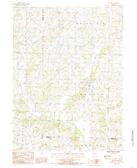 1984 Matkins1985 Print · USGSHarrison County in the early eighties is captured here in a time of established rural life and family farming. Genealogists can trace property locations near Matkins or follow family landmarks along Sampson Creek, Goose Creek, and White Oak Creek.
 - 1984 Map of Pattonsburg, 1985 Print
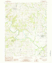 1984 Pattonsburg1985 Print · USGSNorthwest Missouri's river-bottom landscapes and rural rail history come alive in this mid-eighties survey of the Daviess County region. Researchers can trace the path of the Old Railroad Grade and explore the winding banks of the Grand River near Pattonsburg.
 - 1985 Map of Ford City
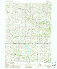 1985 Ford City1985 Print · USGSGentry and De Kalb Counties are shown in the mid-1980s, documenting a landscape of rural townships and winding creek valleys. Genealogists and local historians can trace the Railroad Grade near Ford City and locate local landmarks like the QUARRY and Cem.
 - 1985 Map of Berlin
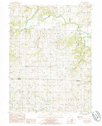 1985 Berlin1985 Print · USGSGentry and De Kalb Counties in the mid-1980s are defined by the winding course of the Grand River and its many wooded tributaries. Researchers can locate the small community of Berlin, the riverside Andy Denton Public Access, and the winding North Fork Lost Creek.
 - 1985 Map of Albany South
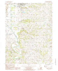 1985 Albany South1985 Print · USGSGentry County in the mid-eighties shows a landscape defined by the winding Grand River and rural crossroads. Researchers can trace the layout of small communities like Gentryville, Evona, and Whitten, or locate specific landmarks like the Lee Lake dam.
 - 1985 Map of Darlington, 1986 Print
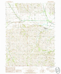 1985 Darlington1986 Print · USGSGentry County in the 1980s shows a landscape of river-bottom farming and small-town Missouri life. Genealogists and local historians can trace the Old RR Grade through Darlington or locate family plots near Mc Curry and the local Cem.
 - 1986 Map of Maryville
 1986 Maryville1986 Print · USGSNorthwest Missouri's agricultural heartland is documented here in the mid-1980s, from the campus at Northwest Missouri State University to the Grand River valley. Genealogists can trace family footprints across dozens of local burial grounds like Alanthus Grove Cem and Brooklyn Cem.2 unique versions available
 - 2011 Map of Berlin, 2011 Print
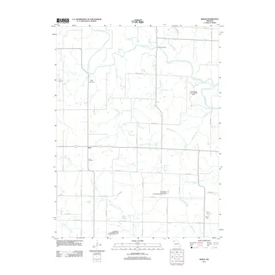 2011 Berlin2011 Print · USGSIn the early twenty-first century, this part of Gentry County remains defined by the winding Grand River and quiet rural townships. Researchers can trace local lineages at the Berlin Cemetery or explore landmarks like Crawford Bridge and the Elam Bend State Wildlife Area.
 - 2011 Map of McFall, 2011 Print
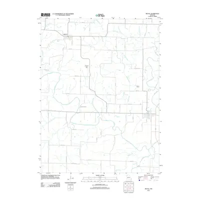 2011 McFall2011 Print · USGSNorthwest Missouri's agricultural heartland is captured here in the early twenty-first century, centered on the community of McFall. Genealogists and local historians can trace family locations near Savage Cemetery or follow the banks of the Grand River and Sampson Creek.
 - 2011 Map of Albany South, 2011 Print
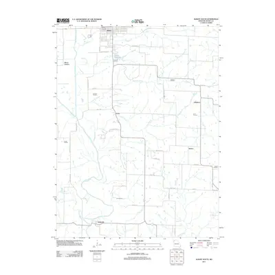 2011 Albany South2011 Print · USGSGentry County's river valleys and small hamlets are preserved in this 2010s survey of the rural landscape south of Albany. Researchers can trace family history through numerous burial sites like Sandville Cemetery or locate the old crossroads of Evona and Whitten.
 - 2011 Map of Darlington, 2011 Print
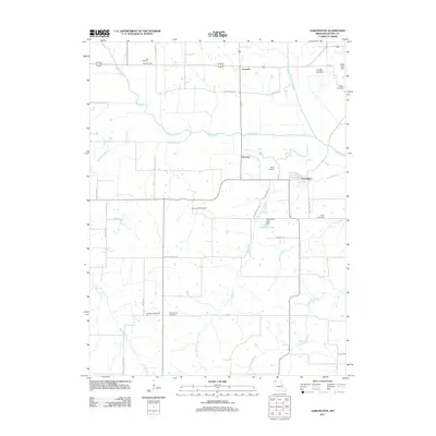 2011 Darlington2011 Print · USGSGentry County at the start of the 2010s reveals a rural landscape deeply rooted in its local history and family cemeteries. Genealogists can trace family names and early settlements through markers like Saint Patrick Cemetery, McCurry, and the village of Darlington.
 - 2011 Map of Ford City, 2011 Print
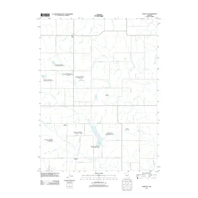 2011 Ford City2011 Print · USGSFord City and Winslow appear in this modern survey of northwest Missouri, showing a landscape defined by agricultural tradition and watershed management. Genealogists and locals can trace family-named sites like Ellis Farms, Turpin Lake, and Heintz Lake.
 - 2011 Map of Matkins, 2011 Print
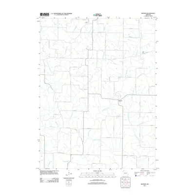 2011 Matkins2011 Print · USGSHarrison County at the start of the 2010s remains a landscape of deep-rooted rural agriculture and quiet creek valleys. Genealogists can locate family burial grounds at Foster Cemetery and White Oak Cemetery or trace the winding waters of Sampson Creek and Wolf Den Branch.
 - 2014 Map of McFall, 2014 Print
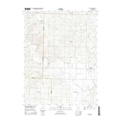 2014 McFall2014 Print · USGSGentry and Daviess counties are shown in this modern survey as the Grand River weaves through a landscape of traditional farmsteads and small townships. Genealogists and local historians can locate McFall Cemetery and Savage Cemetery, or trace the old routes of Old Havana Trl and Old Pattonsburg.
 - 2014 Map of Darlington, 2014 Print
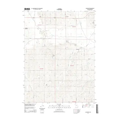 2014 Darlington2014 Print · USGSNorthwest Missouri's river-bottom lands and rural townships are captured here in the early twenty-first century. Genealogists can trace family footprints across numerous burial sites, including Saint Patrick Cemetery, Hall Cemetery, and Rodes Cemetery.
 - 2014 Map of Albany South, 2014 Print
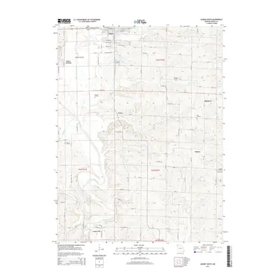 2014 Albany South2014 Print · USGSGentry County in the early twenty-first century remains a landscape of river-valley settlements and rural crossroads. Researchers can trace family history through numerous burial sites like Fore Cemetery and Gribble Cemetery near the banks of the Grand River.
Showing maps 1-25 of 40
Top cities near Miller Township
- Albany historical maps
- Stanberry historical maps
- Maysville historical maps
- King City historical maps
- New Hampton historical maps
- Pattonsburg historical maps
See more
Top neighborhoods of Miller Township
Frequently asked questions
- What are the different types of historical maps available for Miller Township?
- What is the oldest map of Miller Township?
- Where can I purchase historical maps of Miller Township for my home or office?
- Where can I download high-res historical maps of Miller Township?
- Are there historical topographic maps available for Miller Township?
- Is there historical aerial imagery available for Miller Township?
- Where are historical maps of Miller Township sourced from?