2023 Map of McGraw
USGS Topo · Published 2023About this map
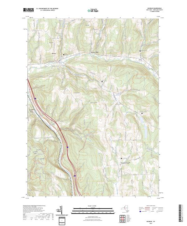
McGraw serves as a central hub in this Cortland County landscape, where the confluence of Trout Brook and the Tioughnioga River shaped early settlement patterns. The map highlights the area's agricultural and milling roots, particularly at Maybury Mills and Blodgett Mills. The terrain is characterized by significant elevations such as South Hill and Underwood Hill, with the deep incision of Hoxie Gorge carving through the southern hills. For those researching local families, the survey provides precise locations for several historic burial grounds, including the McGraw Rural Cem, Atwood Cem, and Maplewood Cem. The eastern portion of the quadrangle reaches into the smaller hamlets of Solon and Freetown Corners, connected by a network of rural routes like McGraw Marathon Rd and Freetown Cross Rd.
Find a feature on this map
83 named features on this map. Tap any name to fly to it.
Don’t see what you’re looking for? This feature index may not catch every label — zoom into the map to look around manually.
Map Details
Editions of this 2023 McGraw Map
This is the sole edition of this map. No revisions or reprints were ever made.
Historical Maps of Cortland County Through Time
1 maps found