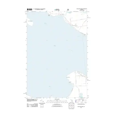
2011 Map of McGulpin Point
USGS Topo · Published 2011About this map
McGulpin Point and the surrounding coastline of the Straits of Mackinac define this area of Emmet County, Michigan, as it appeared in the early 21st century. The map highlights significant maritime geography, including the prominent Saint Helena Island and the jagged shoreline of West Moran Bay near Gros Cap. On the southern shore, the landscape transition around French Farm Lake and Trails End Bay shows a network of local roads such as Wilderness Park Dr leading toward the lakefront. Local genealogy and history interests are served by the clear marking of Gros Cap Cemetery in the north and Lakeview Cemetery to the south. The layout of W Central Ave and Ridge Rd indicates a developed area near the southern point, while the northern section remains anchored by the Moran River and Freschette Lake.
Find a feature on this map
32 named features on this map. Tap any name to fly to it.
Don’t see what you’re looking for? This feature index may not catch every label — zoom into the map to look around manually.
Map Details
Editions of this 2011 McGulpin Point Map
This is the sole edition of this map. No revisions or reprints were ever made.
Other maps of this area

1931 · St Ignace NW
USGS Topo · 1:31,680

1931 · Moran NE
USGS Topo · 1:31,680

1948 · Moran NE
USGS Topo · 1:31,680

1948 · Moran NW
USGS Topo · 1:31,680

1955 · Cheboygan
USGS Topo · 1:250,000

1957 · Mullett Lake
USGS Topo · 1:62,500

1958 · Cheboygan
USGS Topo · 1:250,000

1958 · Pellston
USGS Topo · 1:62,500

1964 · Big Stone Bay
USGS Topo · 1:24,000
1964 · Moran
USGS Topo · 1:24,000