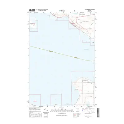
2014 Map of McGulpin Point
USGS Topo · Published 2014About this map
Mackinaw City anchors the southeastern corner of this maritime landscape, where the waters of Lake Michigan meet Lake Huron at the Straits of Mackinac. The mapping highlights the critical geography of the northern Lower Peninsula and the southern tip of the Upper Peninsula, featuring prominent landmarks like McGulpin Point and Johnson Point. To the north, across the straits, the shoreline transitions into the Hiawatha National Forest, surrounding the small settlement of Gros Cap.
Find a feature on this map
41 named features on this map. Tap any name to fly to it.
Don’t see what you’re looking for? This feature index may not catch every label — zoom into the map to look around manually.
Map Details
Editions of this 2014 McGulpin Point Map
This is the sole edition of this map. No revisions or reprints were ever made.
Other maps of this area

1931 · St Ignace NW
USGS Topo · 1:31,680

1931 · Moran NE
USGS Topo · 1:31,680

1948 · Moran NE
USGS Topo · 1:31,680

1948 · Moran NW
USGS Topo · 1:31,680

1955 · Cheboygan
USGS Topo · 1:250,000

1957 · Mullett Lake
USGS Topo · 1:62,500

1958 · Cheboygan
USGS Topo · 1:250,000

1958 · Pellston
USGS Topo · 1:62,500

1964 · Big Stone Bay
USGS Topo · 1:24,000
1964 · Moran
USGS Topo · 1:24,000