2022 Map of McKinley
USGS Topo · Published 2022About this map
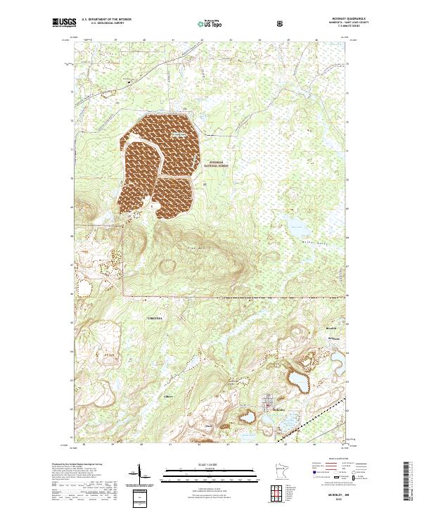
The Mesabi Range defines the industrial and natural geography of this portion of St. Louis County, where the legacy of iron ore mining is clearly etched into the landscape. Significant industrial footprints like the Inland Steel Tailings Basin and the McKinley Tailings Basin sit alongside established settlements like McKinley, Biwabik, and Gilbert. The terrain is marked by the Laurentian Divide, a continental water parting that separates the basins of the Great Lakes and Hudson Bay. This 2022 survey captures the modern state of historic mining towns such as Elcor and Belgrade, providing a clear view of how these communities interact with the vast timberlands of the Superior National Forest. From the heights of Lookout Mountain and Pike Mtn to the quiet grounds of Florenton Cem, the map traces a complex network of resource extraction and local heritage.
Find a feature on this map
37 named features on this map. Tap any name to fly to it.
Don’t see what you’re looking for? This feature index may not catch every label — zoom into the map to look around manually.
Map Details
Editions of this 2022 McKinley Map
This is the sole edition of this map. No revisions or reprints were ever made.
Historical Maps of McKinley Through Time
1 maps found