2023 Map of McVeytown
USGS Topo · Published 2023About this map
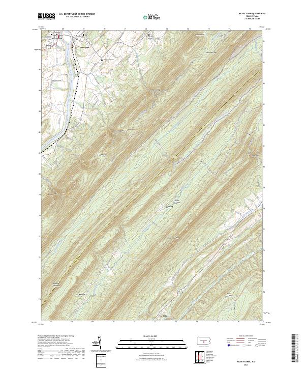
McVeytown sits along the northern bank of the Juniata River, serving as a focal point for the settlement patterns in this part of Mifflin and Juniata Counties. The river valley facilitates transportation through Mattawana while the surrounding landscape is defined by the steep, parallel ridges of Blacklog Mountain and Shade Mountain. This topography creates a series of prominent gaps, including Miller Gap and Carlisle Gap, which dictate the paths of local roads and recreational trails like the Juniata River Water Trl.
Find a feature on this map
73 named features on this map. Tap any name to fly to it.
Don’t see what you’re looking for? This feature index may not catch every label — zoom into the map to look around manually.
Map Details
Editions of this 2023 McVeytown Map
This is the sole edition of this map. No revisions or reprints were ever made.
Historical Maps of Peru Mills Through Time
1 maps found