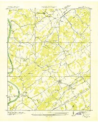
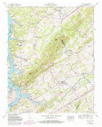
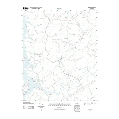
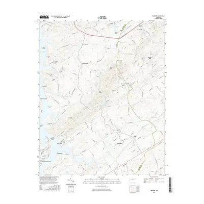
1935 Map of Meadow
USGS Topo · Published 1935About this map
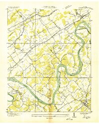
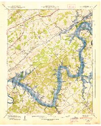
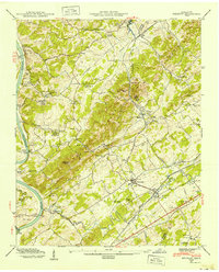
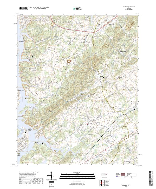
The Little Tennessee River defines the western edge of this 1935 survey, a period when ferries like Davis Ferry, Jackson Ferry, and Morganton Ferry provided essential river crossings for the rural communities of Loudon and Blount Counties. This landscape is a dense network of small family-named settlements and rural institutions, reflecting a mid-1930s agrarian economy. The Louisville and Nashville railroad corridor anchors the eastern half, passing through the established community of Greenback and the smaller station at Jena.
Find a feature on this map
44 named features on this map. Tap any name to fly to it.
Don’t see what you’re looking for? This feature index may not catch every label — zoom into the map to look around manually.
Map Details
Editions of this 1935 Meadow Map
This is the sole edition of this map. No revisions or reprints were ever made.
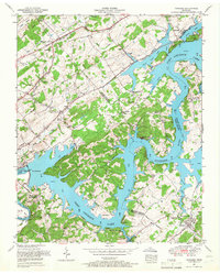
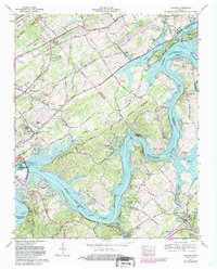
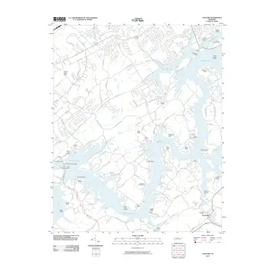
Historical Maps of Tellico Village Through Time
17 maps found
1935 Meadow
Loudon County, TN
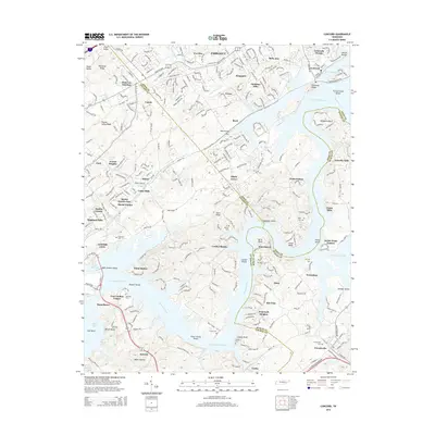
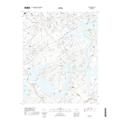
1936 Concord
Loudon County, TN
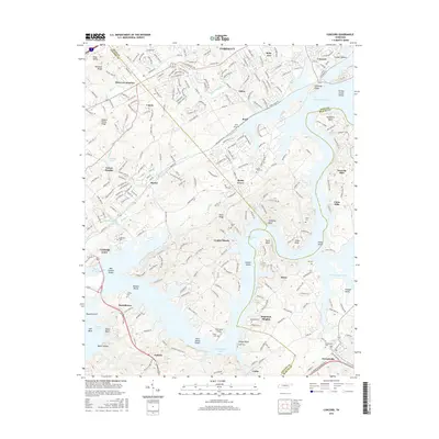
1940 Concord
Loudon County, TN
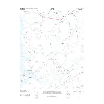
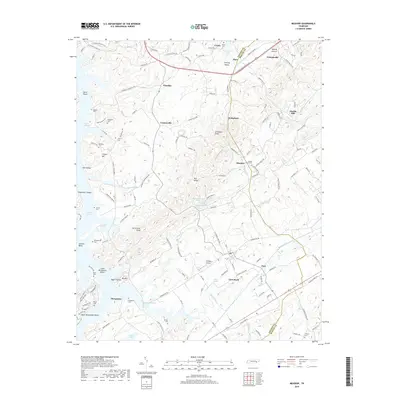
1940 Meadow
Loudon County, TN
1952 Meadow
Loudon County, TN
1953 Concord
Loudon County, TN
1968 Concord
Loudon County, TN
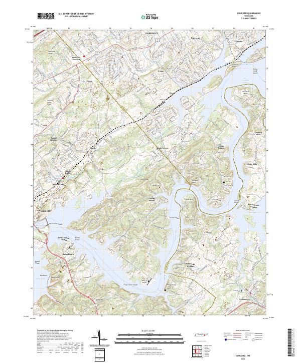
2010 Concord
Loudon County, TN
2010 Meadow
Loudon County, TN
2013 Meadow
Loudon County, TN
2014 Concord
Loudon County, TN
2016 Concord
Loudon County, TN
2016 Meadow
Loudon County, TN
2019 Concord
Loudon County, TN
2019 Meadow
Loudon County, TN
2022 Concord
Loudon County, TN
2022 Meadow
Loudon County, TN