Old Maps of Tellico Village, Tennessee
Explore 32 old maps of Tellico Village, spanning from 1895 to today. These high-resolution historic maps reveal how streets, neighborhoods, landmarks, and natural features evolved over time — perfect for genealogy, metal detecting, research, and local history exploration.
What you can do with these maps:
- See how Tellico Village changed over time: Compare historical maps to modern-day views to trace roads, homesites, rail lines & more.
- View detailed metadata: Each map includes creators, publishers, year, scale, and archive source.
- Overlay maps with satellite & LiDAR: Visualize the past alongside modern tools to explore terrain & human change.
- Trusted historical sources: Maps sourced from the USGS, Library of Congress, and other archives.
- Access maps your way: View online, download high-res files, or order prints for personal or research use.
Start exploring old maps of Tellico Village to uncover forgotten places, hidden landmarks, and the deep history beneath your feet.
Tellico Village, TN maps
(32)- 1895 Map of Loudon
 1895 Loudon1895 Print · USGSEastern Tennessee is mapped here during a decade of rail expansion and river-based commerce. Genealogists and historians can trace family-named river crossings and early industry at Huff Ferry, Hiwassee College, and Brick Mill.6 unique versions available
 - 1935 Map of Meadow
 1935 Meadow1935 Print · USGSThe Little Tennessee River riverfront was still defined by historic crossings in the mid-1930s before modern bridges changed the landscape. You can trace early family landholdings and community sites like Morganton Ferry, Unitia Sch, and Greenback.
 - 1935 Map of Lenoir City
 1935 Lenoir City1935 Print · USGSThe Tennessee and Little Tennessee rivers converge here in the mid-1930s, showing a landscape of river bends and ferries. Genealogists can trace family landmarks like Cardwells Chapel, Oral Cem, and the Loudon County Farm.
 - 1936 Map of Loudon
 1936 Loudon1936 Print · USGSLoudon County in the mid-1930s is documented here as the Tennessee Valley Authority began its monumental work along the river. Genealogists can locate family-named landmarks and community centers like Eve Mills, Huff Ferry, and Cumberland Stand Ch.
 - 1940 Map of Loudon
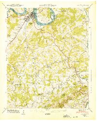 1940 Loudon1940 Print · USGSTennessee river life and rural industry meet in the early 1940s as the river valley begins to transform. Genealogists and historians can trace family landmarks like Eve-Mills, Huff Ferry, and the Maple Spring Wadkins Cem.
 - 1940 Map of Lenoir City
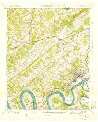 1940 Lenoir City1940 Print · USGSLoudon and Roane counties are captured here just as the Tennessee Valley Authority was reshaping the river landscape. Researchers can trace family-named sites like Brazeale Cem, old schoolhouses such as Oak Grove Sch, and historic river crossings at Bussell Ferry.2 unique versions available
 - 1940 Map of Meadow
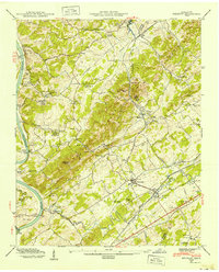 1940 Meadow1940 Print · USGSLoudon and Blount Counties appear here in the early 1940s, just as the local river-and-rail economy defined daily life. Genealogists and researchers can trace historic river crossings like Morganton Ferry or find rural landmarks like Axley Chapel and Greenback.
 - 1952 Map of Meadow, 1954 Print
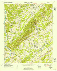 1952 Meadow1954 Print · USGSThe river valleys of East Tennessee are captured here in the early fifties, showing a landscape defined by ferry crossings and hilltop family cemeteries. Trace historic sites like the National Camp Ground, the settlement of Morganton, and the LOUISVILLE AND NASHVILLE rail line.3 unique versions available
 - 1952 Map of Loudon, 1954 Print
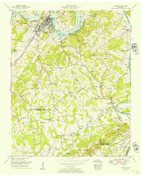 1952 Loudon1954 Print · USGSThe Tennessee riverfront at Loudon was undergoing significant change in the early fifties following the development of the Watts Bar reservoir. Genealogists and local historians can trace family locations through Eve Mills, Steekee School, and the Bowman Cemetery.4 unique versions available
 - 1953 Map of Chattanooga
 1953 Chattanooga1953 Print · USGSSoutheast Tennessee in the early fifties shows a landscape reshaped by river management and rail power. Trace the rail lines of the Southern Ry through riverside towns or locate the preserved grounds of the Chickamauga and Chattanooga National Military Park.
 - 1953 Map of Lenoir City, 1954 Print
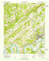 1953 Lenoir City1954 Print · USGSLoudon and Roane counties are shown here in the early fifties, where the winding Tennessee River meets the growing industrial center of Lenoir City. Researchers can trace old family sites and rural infrastructure, from the Browder School and White Wing Church to the river crossings at Huff Ferry.2 unique versions available
 - 1957 Map of Chattanooga, 1966 Print
 1957 Chattanooga1966 Print · USGSEast Tennessee in the mid-1960s shows a landscape of massive hydroelectric reservoirs and emerging industrial sites like the Atomic Energy Commission (Oak Ridge Area). Trace the rail networks of the Southern Ry through Chattanooga or locate family-named ridges across the Cumberland Plateau.3 unique versions available
 - 1959 Map of Chattanooga
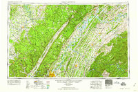 1959 Chattanooga1959 Print · USGSSoutheast Tennessee is shown here during a decade of industrial growth and hydroelectric development. Trace the regional rail networks of the Southern Ry and find landmark sites like Lookout Mountain, Fall Creek Falls State Park, and Chattanooga.
 - 1960 Map of Chattanooga
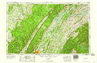 1960 Chattanooga1960 Print · USGSSoutheast Tennessee and the southern Appalachians are shown here at the height of the river-management era. You can trace the valley rail lines and locate Lookout Mountain and the expansive waters of Chickamauga Reservoir.
 - 1964 Map of Chattanooga
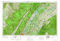 1964 Chattanooga1964 Print · USGSSoutheast Tennessee and the western Carolinas appear in the mid-sixties as a powerhouse of river-driven industry and mountain wilderness. Genealogists and historians can trace rail-town lineages along the Southern Ry or locate family landmarks near Watts Bar Lake and Tellico Plains.
 - 1968 Map of Lenoir City, 1972 Print
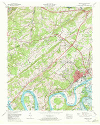 1968 Lenoir City1972 Print · USGSThe Tennessee River valley in the late sixties reveals a landscape transformed by large-scale dam projects and suburban growth around Lenoir City. Researchers can trace family history at the Potters Field Cemetery or locate the Tellico Dam site as the river system was being reshaped.4 unique versions available
 - 1981 Map of Watts Bar Lake, 1984 Print
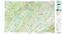 1981 Watts Bar Lake1984 Print · USGSEast Tennessee's river valleys and industrial corridors are captured here during the expansion of the TVA power system in the early eighties. Researchers can trace the legacy of the Southern Railway and the development of Watts Bar Lake and Tellico Lake.2 unique versions available
 - 2010 Map of Meadow, 2010 Print
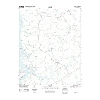 2010 Meadow2010 Print · USGSLoudon County at the turn of the twenty-first century reveals a landscape where modern reservoirs meet deep-rooted family history. Genealogists can trace ancestral sites at Unitia Cemetery and McDonald Cemetery while following the old paths to Davis Ferry and Greenback.
 - 2010 Map of Lenoir City, 2010 Print
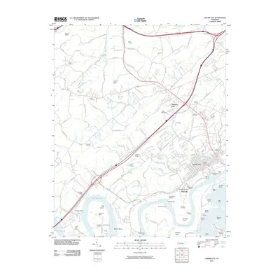 2010 Lenoir City2010 Print · USGSLenoir City and the surrounding river bluffs are shown here in the early twenty-first century, shortly after the 2008 imagery update. Local historians can locate numerous family burial grounds including Pickel Cemetery and landmarks such as the Lenoir Mill or Bussell Ferry.
 - 2011 Map of Loudon, 2011 Print
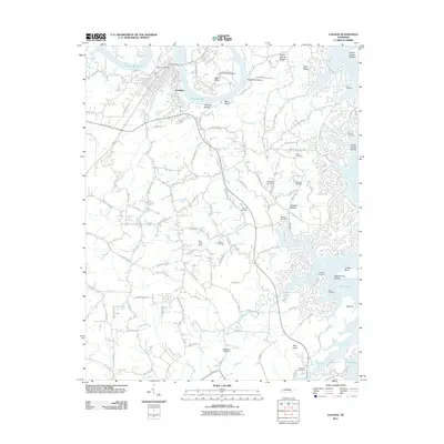 2011 Loudon2011 Print · USGSLoudon and the shores of Tellico Lake are captured here in the early twenty-first century, showing a mix of riverside industry and expanding residential roads. Genealogists can locate family burial sites like McKee Cemetery and Davis Cemetery or trace landmarks like Roy White Dam.
 - 2013 Map of Lenoir City, 2013 Print
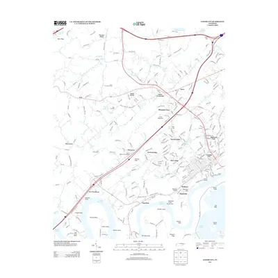 2013 Lenoir City2013 Print · USGSThe confluence of the Tennessee and Little Tennessee Rivers defines this area south of Oak Ridge. Researchers can trace the legacy of river industry and transport through features like the Lenoir Mill, Bussell Island, and the settlement of Sugarlimb.
 - 2013 Map of Meadow, 2013 Print
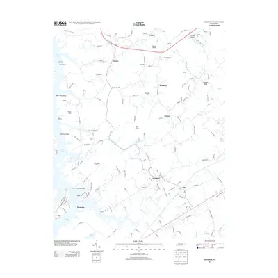 2013 Meadow2013 Print · USGSEastern Loudon County and the shores of Tellico Lake are captured here in the early twenty-first century. Genealogists and local historians can locate long-standing communities like Unitia, Greenback, and the historic site of the Morganton Ferry.
 - 2013 Map of Loudon, 2013 Print
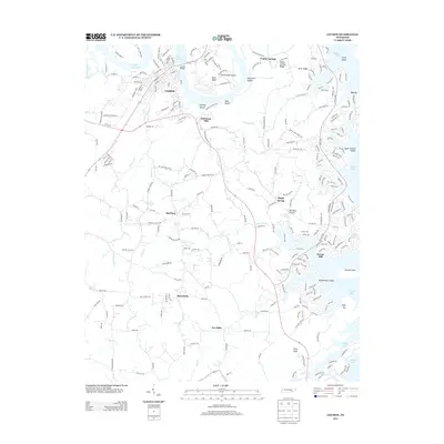 2013 Loudon2013 Print · USGSLoudon and the Tennessee River valley are shown here in the early twenty-first century as new development meets traditional farmsteads. Genealogists and historians can trace family locations near Eve Mills, Corinth Church, and the site of Robinson Mill.
 - 2016 Map of Meadow, 2016 Print
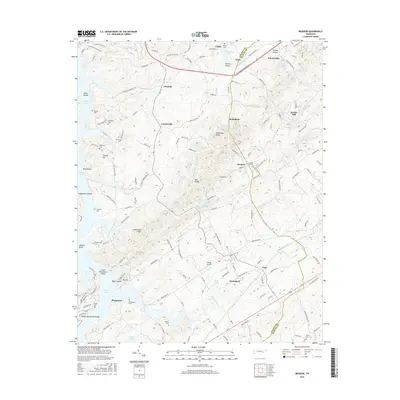 2016 Meadow2016 Print · USGSThe Loudon and Blount County line comes alive in the mid-2010s, showing a landscape shaped by river valleys and ridges. Trace family history through numerous sites like Unitia Cem or explore settlements at Greenback and Morganton near Tellico Lake.
 - 2016 Map of Lenoir City, 2016 Print
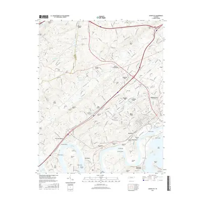 2016 Lenoir City2016 Print · USGSThe Tennessee River valley south of Oak Ridge comes alive in the mid-2010s, showing the intersection of historic river bends and modern development. Researchers can trace numerous family burial sites like Potters Field Cem and Moreland Cem or explore the geography of Bussell Island and Lenoir City.
Showing maps 1-25 of 32
Top cities near Tellico Village
- Knoxville historical maps
- Maryville historical maps
- Oak Ridge historical maps
- Farragut historical maps
- Lenoir City historical maps
- Kingston historical maps
See more
Frequently asked questions
- What are the different types of historical maps available for Tellico Village?
- What is the oldest map of Tellico Village?
- Where can I purchase historical maps of Tellico Village for my home or office?
- Where can I download high-res historical maps of Tellico Village?
- Are there historical topographic maps available for Tellico Village?
- Is there historical aerial imagery available for Tellico Village?
- Where are historical maps of Tellico Village sourced from?