
1936 Map of Loudon
USGS Topo · Published 1936About this map
Loudon sits at a strategic bend of the Tennessee River during a period of significant infrastructure transformation in East Tennessee. This 1930s survey, compiled from aerial photographs by the Tennessee Valley Authority, documents the landscape just before major hydroelectric projects altered many riverfronts. The map captures the coexistence of old river crossings like Huff Ferry and Blairs Ferry alongside the newer Toll Bridge and the Southern Railway.
Find a feature on this map
47 named features on this map. Tap any name to fly to it.
Don’t see what you’re looking for? This feature index may not catch every label — zoom into the map to look around manually.
Map Details
Editions of this 1936 Loudon Map
This is the sole edition of this map. No revisions or reprints were ever made.
Other maps of this area

1895 · Loudon
USGS Topo · 1:125,000

1935 · Meadow
USGS Topo · 1:24,000

1935 · Lenoir City
USGS Topo · 1:24,000

1935 · Philadelphia
USGS Topo · 1:24,000
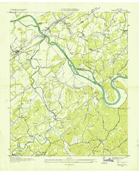
1935 · Vonore
USGS Topo · 1:24,000

1936 · Cave Creek
USGS Topo · 1:24,000
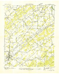
1936 · Madisonville
USGS Topo · 1:24,000
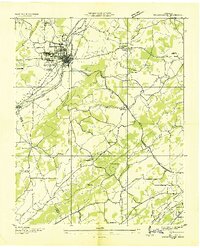
1936 · Sweetwater
USGS Topo · 1:24,000

1936 · Friendship
USGS Topo · 1:48,000
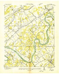
1936 · Concord
USGS Topo · 1:24,000