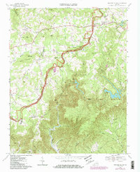
1968 Map of Meadows of Dan
USGS Topo · Published 1985About this map
The Blue Ridge Parkway meanders along the crest of the Blue Ridge, serving as the central spine of this landscape where the counties of Floyd, Carroll, and Patrick meet. This 1968 survey, revised in the mid-1980s, captures the high-elevation community of Meadows of Dan and the surrounding rural infrastructure of the era. The terrain is defined by the dramatic descent of the Dan River through the Pinnacles of Dan, where significant hydroelectric developments including Townes Dam, Talbott Dam, and the Pinnacles Powerplant are linked by an underground Aqueduct Tunnel.
Find a feature on this map
63 named features on this map. Tap any name to fly to it.
Don’t see what you’re looking for? This feature index may not catch every label — zoom into the map to look around manually.
Map Details
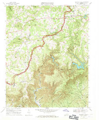
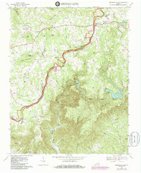
Editions of this 1968 Meadows of Dan Map
Other maps of this area

1889 · Hillsville
USGS Topo · 1:125,000

1892 · Hillsville
USGS Topo · 1:125,000

1896 · Hillsville
USGS Topo · 1:125,000

1928 · Stuart
USGS Topo · 1:48,000

1931 · Stuart
USGS Topo · 1:62,500

1953 · Winston-Salem
USGS Topo · 1:250,000

1955 · Winston-Salem
USGS Topo · 1:250,000

1956 · Macks Mountain
USGS Topo · 1:62,500

1957 · Mount Airy
USGS Topo · 1:62,500

1957 · Floyd
USGS Topo · 1:62,500