Loading...
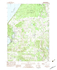
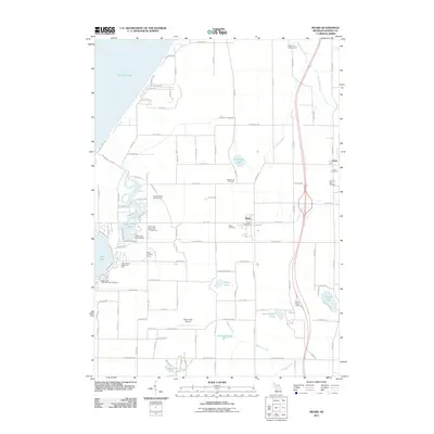
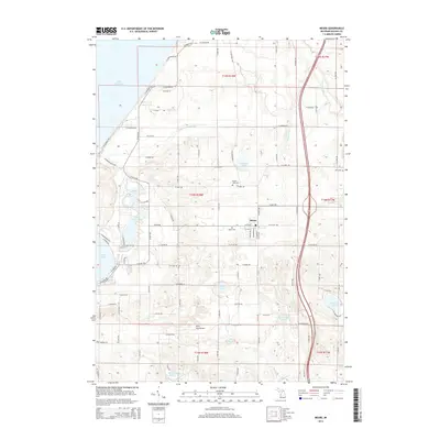
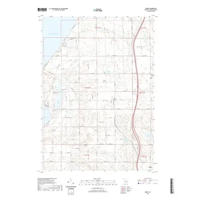
Loading map...1983 Map of Mears
USGS Topo · Published 1983About this map
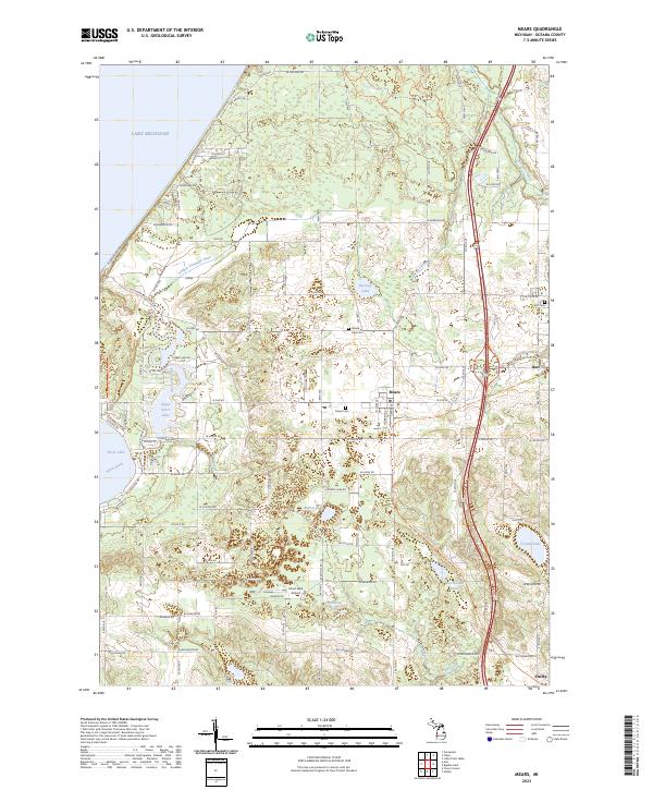
Lake Michigan coastal dunes and glacial lakes define the landscape of western Oceana County in the early 1980s. The village of Mears serves as a central hub, surrounded by a grid of rural roads like Taylor Road and Deer Road that connect isolated landmarks such as the Mission Covenant Ch and Round Lake Cem. The geography is notably shaped by extensive public lands, including the Silver Lake State Park along the shoreline and the Pere Marquette State Forest to the north.
Find a feature on this map
43 named features on this map. Tap any name to fly to it.
Don’t see what you’re looking for? This feature index may not catch every label — zoom into the map to look around manually.
Map Details
Date Portrayed1983
Date Published1983
PublisherU.S. Geological Survey
Map TypeTopographic
Scale1:25,000
Physical Dimensions21.8 x 26.7 inches
Editions of this 1983 Mears Map
This is the sole edition of this map. No revisions or reprints were ever made.
Historical Maps of Hart Through Time
6 maps found
Featured Locations
Source Details
SourceU.S. Geological Survey
CopyrightPublic Domain