
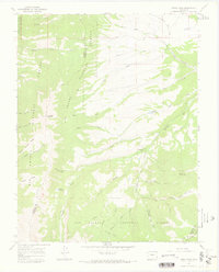
2001 Map of Medano Pass
USGS Topo · Published 2005About this map
The high-altitude drainage systems and wilderness boundaries of the Sangre de Cristo Mountains are meticulously documented in this 2001 revision. Centered on the rugged Medano Pass, the landscape is defined by the headwaters of Medano Creek and its many tributaries, including Little Medano Creek and Horse Creek. High peaks such as Mount Herard and Mount Zwischen anchor the terrain, while the Medano Pass 4wd Road provides a rare point of access through the Sangre De Cristo Wilderness.
Find a feature on this map
29 named features on this map. Tap any name to fly to it.
Don’t see what you’re looking for? This feature index may not catch every label — zoom into the map to look around manually.
Map Details
Editions of this 2001 Medano Pass Map
This is the sole edition of this map. No revisions or reprints were ever made.
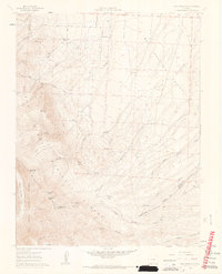
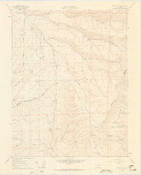
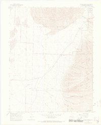
Other maps of this area

1889 · Huerfano Park
USGS Topo · 1:125,000

1892 · Huerfano Park
USGS Topo · 1:125,000

1954 · Trinidad
USGS Topo · 1:250,000

1955 · Trinidad
USGS Topo · 1:250,000

1958 · Trinidad
USGS Topo · 1:250,000

1959 · Trinidad
USGS Topo · 1:250,000
1960 · Beck Mountain
USGS Topo · 1:24,000
1960 · Devils Gulch
USGS Topo · 1:24,000
1965 · Zapata Ranch
USGS Topo · 1:24,000
1967 · Mosca Pass
USGS Topo · 1:24,000