2022 Map of Medford
USGS Topo · Published 2022About this map
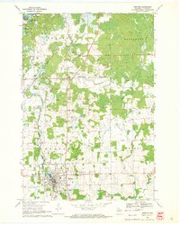
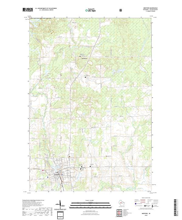
The Black River and its various tributaries, including the W Br Little Black River and Correction Cr, anchor the landscape of this Taylor County region. The city of Medford serves as the primary hub, where the Taylor County Courthouse stands near the Medford Flowage. The map reveals a high concentration of local heritage sites, particularly through its numerous cemeteries such as Evergreen Cem I, Evergreen Cem II, and Holy Rosary Cem. To the north, the smaller settlement of Whittlesey is defined by a cluster of religious and memorial landmarks, including Trinity Lutheran Cem and Whittlesey Catholic Cem. The surrounding terrain transitions into a patchwork of rural roads and timbered tracts, punctuated by northern water bodies like Clarke Lake, McNamar Lake, and Laher Lake, reflecting the classic glacial topography of central Wisconsin.
Find a feature on this map
63 named features on this map. Tap any name to fly to it.
Don’t see what you’re looking for? This feature index may not catch every label — zoom into the map to look around manually.
Map Details
Editions of this 2022 Medford Map
This is the sole edition of this map. No revisions or reprints were ever made.
Historical Maps of Medford Through Time
4 maps found