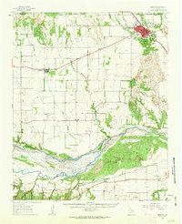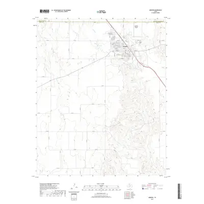
1985 Map of Memphis
USGS Topo · Published 1985About this map
Memphis stands as the primary hub of this Texas Panhandle landscape, where the grid of the town meets the winding paths of Indian Creek and Berkley Creek. The 1980s infrastructure reflects a community at the intersection of local industry and recreation, evidenced by the Municipal Airport and a prominent Golf Course on the town's southern edge. To the west, the landscape transitions into open ranching and agricultural land, dotted with specialized features like a Corral and a Drive-In Theater situated along the highway.
Find a feature on this map
16 named features on this map. Tap any name to fly to it.
Don’t see what you’re looking for? This feature index may not catch every label — zoom into the map to look around manually.
Map Details
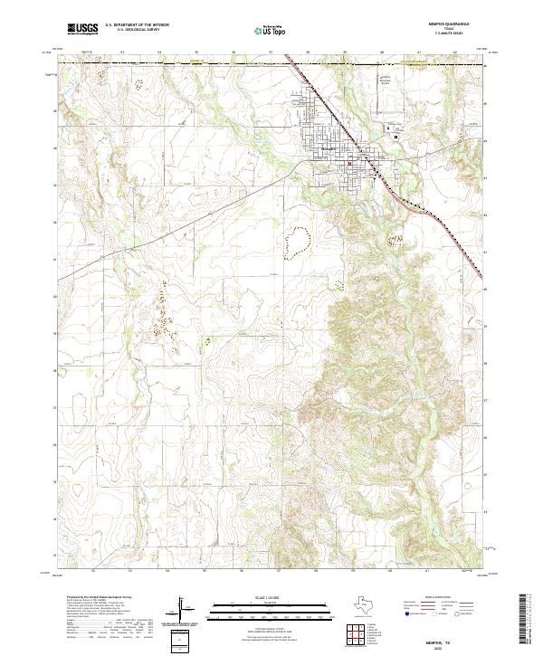
Editions of this 1985 Memphis Map
This is the sole edition of this map. No revisions or reprints were ever made.
Historical Maps of Memphis Through Time
7 maps found