2023 Map of Mentor OE N
USGS Topo · Published 2023About this map
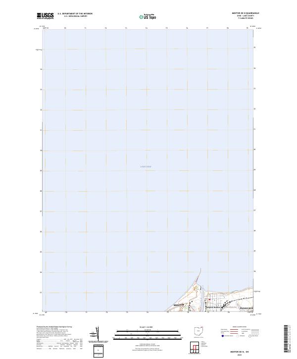
The waters of Lake Erie dominate this map, revealing the modern shoreline of Lake County as it appeared in the early 2020s. Along the southern edge of the sheet, the developed corridors of Mentor, Fairport Harbor, and Painesville reflect the suburban and industrial growth common to the region east of Cleveland. The mouth of the Grand River serves as a focal point for the harbor area, highlighting the enduring importance of this waterway for navigation and local infrastructure.
Find a feature on this map
6 named features on this map. Tap any name to fly to it.
Don’t see what you’re looking for? This feature index may not catch every label — zoom into the map to look around manually.
Map Details
Editions of this 2023 Mentor OE N Map
This is the sole edition of this map. No revisions or reprints were ever made.
Historical Maps of Painesville Through Time
1 maps found