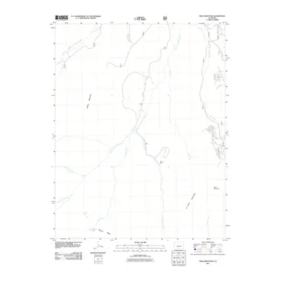
2011 Map of Mesa Mountain
USGS Topo · Published 2011About this map
La Garita Mountains define this high-altitude landscape in Saguache County, where complex drainage networks feed into the Saguache Creek system. The terrain is characterized by massive landforms like Sheep Mountain, Palmer Mesa, and Mesa Mountain, which rise between deep-cut drainages including Deep Creek and Bear Creek. The presence of the Sky City Mine near Wannamaker Creek suggests a history of resource extraction in these remote elevations, typical of the mineral-rich ranges of southern Colorado.
Find a feature on this map
16 named features on this map. Tap any name to fly to it.
Don’t see what you’re looking for? This feature index may not catch every label — zoom into the map to look around manually.
Map Details
Editions of this 2011 Mesa Mountain Map
This is the sole edition of this map. No revisions or reprints were ever made.
Other maps of this area

1914 · Creede
USGS Topo · 1:125,000

1916 · Creede
USGS Topo · 1:125,000

1945 · Durango
USGS Topo · 1:250,000

1953 · Durango
USGS Topo · 1:250,000

1954 · Durango
USGS Topo · 1:250,000

1956 · Montrose
USGS Topo · 1:250,000

1959 · Montrose
USGS Topo · 1:250,000

1959 · Creede
USGS Topo · 1:62,500

1960 · Montrose
USGS Topo · 1:250,000

1961 · Durango
USGS Topo · 1:250,000