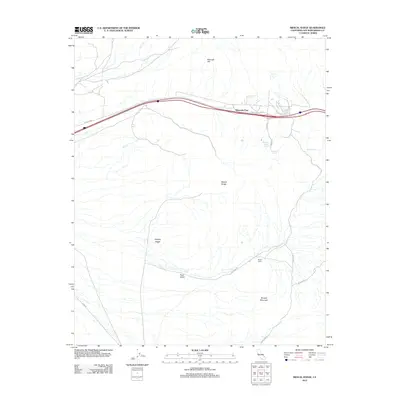
2012 Map of Mescal Range
USGS Topo · Published 2012About this map
Mountain Pass serves as a central hub in this high-desert landscape, where modern transportation corridors intersect with the older, more specialized routes of the Mojave Desert. The map reveals a transition between prominent elevations like the Mescal Range and the low-lying Piute Valley, highlighting the topographic variety of this corner of San Bernardino County. Traces of human activity and resource extraction are evident through named paths such as Zinc Mine Rd and isolated points like Rogers Camp, suggesting a legacy of prospecting and remote settlement.
Find a feature on this map
18 named features on this map. Tap any name to fly to it.
Don’t see what you’re looking for? This feature index may not catch every label — zoom into the map to look around manually.
Map Details
Editions of this 2012 Mescal Range Map
This is the sole edition of this map. No revisions or reprints were ever made.
Other maps of this area

1910 · Ivanpah
USGS Topo · 1:250,000

1912 · Ivanpah
USGS Topo · 1:250,000

1942 · Ivanpah
USGS Topo · 1:250,000

1947 · Kingman
USGS Topo · 1:250,000

1948 · Kingman
USGS Topo · 1:250,000

1954 · Kingman
USGS Topo · 1:250,000

1955 · Kingman
USGS Topo · 1:250,000

1955 · Mescal Range
USGS Topo · 1:62,500

1955 · Roach Lake
USGS Topo · 1:62,500

1956 · Ivanpah
USGS Topo · 1:62,500