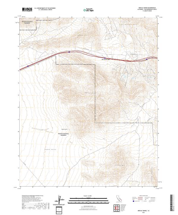
2021 Map of Mescal Range
USGS Topo · Published 2021About this map
Mojave National Preserve encompasses much of this arid landscape, where steep high-desert elevations provide the context for several isolated water sources. Crucial points of interest for historical researchers include Hardrock Queen Spring, Grosner Spring, and China Spring, which indicate the critical reliance on natural hydrology in this arid corridor. The terrain is dominated by the massive Clark Mountain Range and the Mescal Range, bisected by the prominent Mountain Pass.
Find a feature on this map
23 named features on this map. Tap any name to fly to it.
Don’t see what you’re looking for? This feature index may not catch every label — zoom into the map to look around manually.
Map Details
Editions of this 2021 Mescal Range Map
This is the sole edition of this map. No revisions or reprints were ever made.
Other maps of this area

1910 · Ivanpah
USGS Topo · 1:250,000

1912 · Ivanpah
USGS Topo · 1:250,000

1942 · Ivanpah
USGS Topo · 1:250,000

1947 · Kingman
USGS Topo · 1:250,000

1948 · Kingman
USGS Topo · 1:250,000

1954 · Kingman
USGS Topo · 1:250,000

1955 · Kingman
USGS Topo · 1:250,000

1955 · Mescal Range
USGS Topo · 1:62,500

1955 · Roach Lake
USGS Topo · 1:62,500

1956 · Ivanpah
USGS Topo · 1:62,500