Loading...
Loading map...2024 Map of Micanopy
USGS Topo · Published 2024About this map
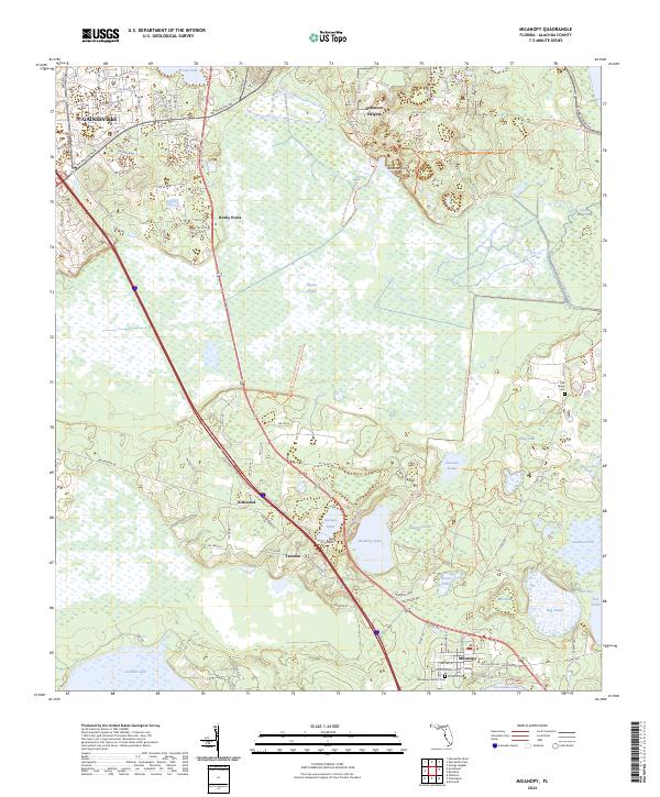
Paynes Prairie dominates this region south of Gainesville, a vast basin defined by its unique hydrology where the Alachua Sink and Sweetwater Branch converge. The landscape is a mosaic of wetlands and hammocks, including Wauberg Lake and Chacala Pond, which are protected within the Paynes Prairie Preserve State Park. Historical small settlements and crossroads like Tacoma, Kirkwood, and Rocky Point flank the prairie’s edge, linked by modern thoroughfares such as SW Williston Rd.
Find a feature on this map
46 named features on this map. Tap any name to fly to it.
Don’t see what you’re looking for? This feature index may not catch every label — zoom into the map to look around manually.
Map Details
Date Portrayed2024
Date Published2024
PublisherU.S. Geological Survey
Map TypeTopographic
Scale1:24000
Physical Dimensions24 x 29 inches
Editions of this 2024 Micanopy Map
This is the sole edition of this map. No revisions or reprints were ever made.
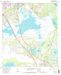
Historical Maps of Tacoma Through Time
Featured Locations
Source Details
SourceU.S. Geological Survey
CopyrightPublic Domain