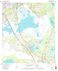
1966 Map of Micanopy
USGS Topo · Published 1988About this map
The expansive wetlands of Paynes Prairie dominate this mid-century landscape south of Gainesville, showing a complex hydraulic network including Alachua Sink and Camps Canal. The map documents the historical land divisions of the Arredondo Grant and Moses E Levy Grant, providing a clear view of how these colonial-era boundaries shaped later development. In the southern portion of the sheet, the town of Micanopy sits near Tuscawilla Lake, while smaller named settlements like Tacoma and Kirkwood appear along the transportation corridors leading toward the city. Local infrastructure is well-defined, ranging from the Gainesville Country Club to the Idylwild Sch and New Minnie Hill Ch, alongside several water bodies like Wauberg Lake and Chacala Pond that define the region's character.
Find a feature on this map
41 named features on this map. Tap any name to fly to it.
Don’t see what you’re looking for? This feature index may not catch every label — zoom into the map to look around manually.
Map Details
Editions of this 1966 Micanopy Map
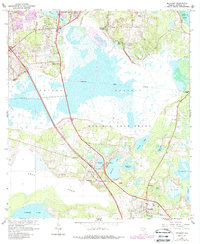
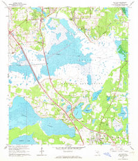
3 editions found
Other maps of this area

1890 · Arredondo
USGS Topo · 1:62,500

1892 · Arredondo
USGS Topo · 1:62,500

1893 · Citra
USGS Topo · 1:62,500

1894 · Arredondo
USGS Topo · 1:62,500

1895 · Williston
USGS Topo · 1:62,500

1895 · Citra
USGS Topo · 1:62,500

1938 · Hawthorn
USGS Topo · 1:48,000

1943 · Hawthorn
USGS Topo · 1:62,500

1954 · Gainesville
USGS Topo · 1:250,000

1958 · Gainesville
USGS Topo · 1:250,000