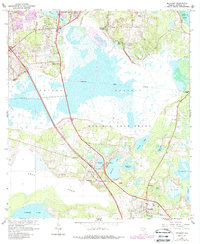
1966 Map of Micanopy
USGS Topo · Published 1966About this map
The expansive Paynes Prairie basin dominates this Alachua County landscape, illustrating the unique hydrography of north-central Florida in the mid-1960s. The map delineates historical land divisions like the Arredondo Grant and Moses E Levy Grant, reflecting the region's complex colonial land tenure. To the south, the settlement of Micanopy serves as a cultural anchor, while smaller vanished or diminished locales such as Tacoma and Kirkwood appear along the transportation corridors. The presence of Camps Canal and numerous sinks and ponds like Alachua Sink and Tuscawilla Lake highlight the area's karst topography and efforts to manage its fluctuating water levels. Revision layers from the 1980s show the northward expansion of Gainesville into areas like Idylwild and Robinson Heights, providing a direct comparison of mid-century rural character against late-century suburban growth.
Find a feature on this map
45 named features on this map. Tap any name to fly to it.
Don’t see what you’re looking for? This feature index may not catch every label — zoom into the map to look around manually.
Map Details
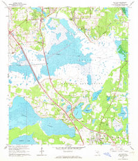
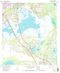
Editions of this 1966 Micanopy Map
3 editions found
Other maps of this area

1890 · Arredondo
USGS Topo · 1:62,500

1892 · Arredondo
USGS Topo · 1:62,500

1893 · Citra
USGS Topo · 1:62,500

1894 · Arredondo
USGS Topo · 1:62,500

1895 · Williston
USGS Topo · 1:62,500

1895 · Citra
USGS Topo · 1:62,500

1938 · Hawthorn
USGS Topo · 1:48,000

1943 · Hawthorn
USGS Topo · 1:62,500

1954 · Gainesville
USGS Topo · 1:250,000

1958 · Gainesville
USGS Topo · 1:250,000