
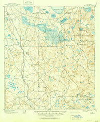
1895 Map of Williston
USGS Topo · Published 1895About this map
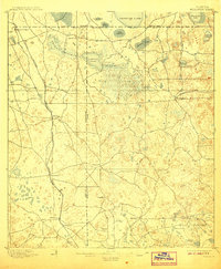
Williston and the surrounding pine and hammock lands of North Central Florida are defined here by a network of early railroads and phosphate mining interests. The Florida Central and Peninsular R. R. serves as the primary corridor through the region, connecting the burgeoning town of Williston with industrial outposts like Phosphate and Standard Mine. To the south, the Eagle Mine B. R. branches off near Montbrook, highlighting the area's economic reliance on mineral extraction during the late nineteenth century.
Find a feature on this map
34 named features on this map. Tap any name to fly to it.
Don’t see what you’re looking for? This feature index may not catch every label — zoom into the map to look around manually.
Map Details
Editions of this 1895 Williston Map
6 editions found
Other maps of this area

1890 · Arredondo
USGS Topo · 1:62,500

1892 · Dunnellon
USGS Topo · 1:62,500

1892 · Arredondo
USGS Topo · 1:62,500

1893 · Citra
USGS Topo · 1:62,500

1894 · Dunnellon
USGS Topo · 1:62,500

1894 · Arredondo
USGS Topo · 1:62,500

1895 · Citra
USGS Topo · 1:62,500

1895 · Ocala
USGS Topo · 1:62,500

1938 · Hawthorn
USGS Topo · 1:48,000

1943 · Hawthorn
USGS Topo · 1:62,500