
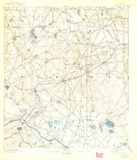
1892 Map of Dunnellon
USGS Topo · Published 1892About this map
Phosphate mining and river crossings dominate this early 1890s landscape of Central Florida, where the Withlacoochee River carves a path through southwestern Marion and eastern Levy counties. The nascent settlement of Dunnellon serves as a critical junction for the Silver Springs Ocala and Gulf Railroad, which links the region's industrial interests to the interior. This era was defined by the rapid expansion of the phosphate industry, evidenced by the Phosphate Mines near the river and Eagle Mines to the north.
Find a feature on this map
38 named features on this map. Tap any name to fly to it.
Don’t see what you’re looking for? This feature index may not catch every label — zoom into the map to look around manually.
Map Details
Editions of this 1892 Dunnellon Map
This is the sole edition of this map. No revisions or reprints were ever made.
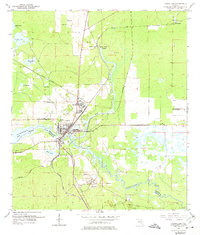
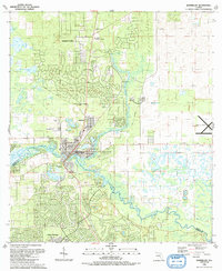
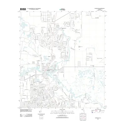
Historical Maps of Ocala Through Time
10 maps found
1892 Dunnellon
Marion County, FL
1894 Dunnellon
Marion County, FL

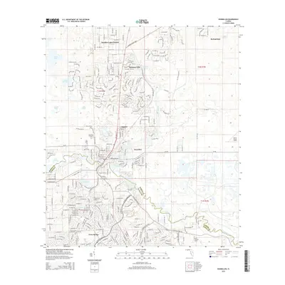
1954 Dunnellon
Marion County, FL
1954 Dunnellon
Marion County, FL
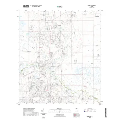
1991 Dunnellon
Marion County, FL
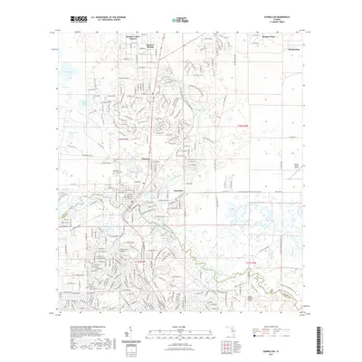
2012 Dunnellon
Marion County, FL
2015 Dunnellon
Marion County, FL
2018 Dunnellon
Marion County, FL
2021 Dunnellon
Marion County, FL
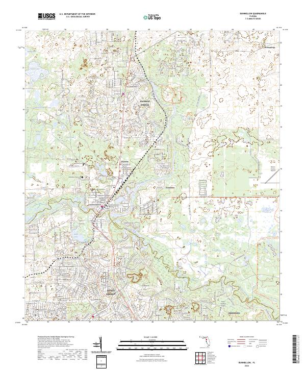
2024 Dunnellon
Marion County, FL