
1954 Map of Holder
USGS Topo · Published 1955About this map
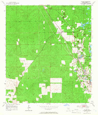
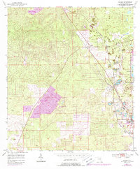
The phosphate mining corridor of Citrus County is clearly defined in this mid-1950s survey, where industrial and rail activity shaped the local landscape. The Atlantic Coast Line and Seaboard Air Line railroads converge at Holder (Ladonia Sta), serving a dense cluster of extraction sites such as those near Felicia and Calphos. These mining operations, often labeled simply as Mine, left a permanent mark on the terrain, including specialized features like the Tailings Pond near the northern border.
Find a feature on this map
15 named features on this map. Tap any name to fly to it.
Don’t see what you’re looking for? This feature index may not catch every label — zoom into the map to look around manually.
Map Details
Editions of this 1954 Holder Map
3 editions found
Other maps of this area

1892 · Dunnellon
USGS Topo · 1:62,500

1894 · Dunnellon
USGS Topo · 1:62,500

1895 · Tsala Apopka
USGS Topo · 1:62,500

1954 · Lecanto
USGS Topo · 1:24,000

1954 · Homosassa
USGS Topo · 1:24,000

1954 · Crystal River
USGS Topo · 1:24,000

1954 · Tsala Apopka NE
USGS Topo · 1:24,000

1954 · Dunnellon
USGS Topo · 1:24,000

1954 · Inverness
USGS Topo · 1:24,000

1954 · Dunnellon SE
USGS Topo · 1:24,000