
1954 Map of Homosassa
USGS Topo · Published 1955About this map
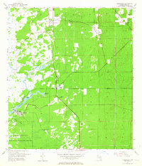
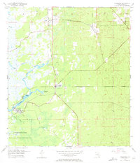
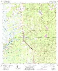
Homosassa River and its intricate network of spring-fed tributaries dominate this mid-century coastal landscape in Citrus County. The settlement of Homosassa is centered near the river's bend, while Homosassa Springs appears to the northeast, marked by its namesake Homosassa Springs water feature. The map captures a transition in transportation and land use, showing an Old Railroad Grade running north-south through the terrain. To the south, the boundary of the Chassahowitzka National Wildlife Refuge encompasses the wetlands and tidal creeks like Mason Creek. This survey provides a record of the area's early aviation and extractive history, noting the West Citrus County Landing Field and several inland Quarry and Sand Pits. Local history is anchored by sites like the Stage Stand Cem and the small community of Cutlers.
Find a feature on this map
19 named features on this map. Tap any name to fly to it.
Don’t see what you’re looking for? This feature index may not catch every label — zoom into the map to look around manually.
Map Details
Editions of this 1954 Homosassa Map
4 editions found
Other maps of this area

1895 · Tsala Apopka
USGS Topo · 1:62,500

1954 · Lecanto
USGS Topo · 1:24,000

1954 · Holder
USGS Topo · 1:24,000

1954 · Chassahowitzka Bay
USGS Topo · 1:24,000

1954 · Crystal River
USGS Topo · 1:24,000

1954 · Brooksville NW
USGS Topo · 1:24,000

1954 · Chassahowitzka
USGS Topo · 1:24,000

1954 · Red Level
USGS Topo · 1:24,000

1954 · Ozello
USGS Topo · 1:24,000

1954 · Inverness
USGS Topo · 1:62,500