
1954 Map of Ozello
USGS Topo · Published 1955About this map
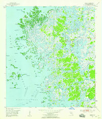
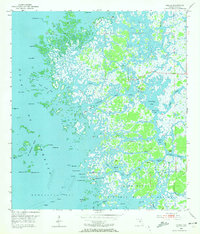
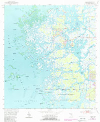
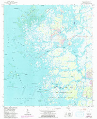
The small fishing village of Ozello sits as a lonely outpost amidst a sprawling labyrinth of mangrove islands and salt marshes on the Florida Gulf Coast. This 1954 survey by the Geological Survey and Coast and Geodetic Survey illustrates the complex hydrology of the Citrus County shoreline, where the St Martins River and Homosassa River meet the Gulf of Mexico. The landscape is dominated by tidal channels and bays, including Greenleaf Bay and Game Creek Bay, which provided essential navigation for local mariners before modern development.
Find a feature on this map
67 named features on this map. Tap any name to fly to it.
Don’t see what you’re looking for? This feature index may not catch every label — zoom into the map to look around manually.
Map Details
Editions of this 1954 Ozello Map
5 editions found
Other maps of this area

1954 · Homosassa
USGS Topo · 1:24,000

1954 · Chassahowitzka Bay
USGS Topo · 1:24,000

1954 · Crystal River
USGS Topo · 1:24,000

1954 · Chassahowitzka
USGS Topo · 1:24,000

1954 · Red Level
USGS Topo · 1:24,000

1955 · Plant City
USGS Topo · 1:250,000

1958 · Plant City
USGS Topo · 1:250,000

1959 · Plant City
USGS Topo · 1:250,000

1964 · Plant City
USGS Topo · 1:250,000
1979 · Inverness
USGS Topo · 1:100,000