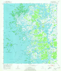
1954 Map of Ozello
USGS Topo · Published 1972About this map
The settlement of Ozello sits at the heart of an intricate labyrinth of sawgrass marshes and tidal creeks along the Citrus County coast. In the mid-1950s, this area was reached primarily via the winding Ozello Trail, which connects the island community to the mainland through a complex network of waterways including the St Martins River and Black Creek. The landscape is dominated by the sprawling Chassahowitzka National Wildlife Refuge, where the southern end of the map reveals the convergence of Mason Creek and the Homosassa River near the Gulf of Mexico. Navigational markers such as a Platform and various Daybeacons suggest the vital role of maritime activity in this marshland environment. Features like Hell Gate, False Channel, and Sams Bayou illustrate the difficult-to-navigate terrain that has historically isolated these coastal hammock islands, preserving their distinct character as remote fishing and wildlife havens.
Find a feature on this map
60 named features on this map. Tap any name to fly to it.
Don’t see what you’re looking for? This feature index may not catch every label — zoom into the map to look around manually.
Map Details
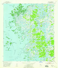
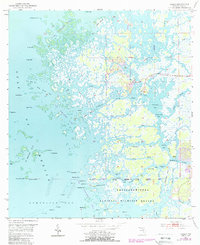
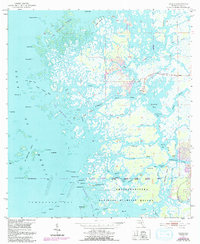
Editions of this 1954 Ozello Map
5 editions found
Other maps of this area

1954 · Homosassa
USGS Topo · 1:24,000

1954 · Chassahowitzka Bay
USGS Topo · 1:24,000

1954 · Crystal River
USGS Topo · 1:24,000

1954 · Chassahowitzka
USGS Topo · 1:24,000

1954 · Red Level
USGS Topo · 1:24,000

1954 · Ozello
USGS Topo · 1:24,000

1955 · Plant City
USGS Topo · 1:250,000

1958 · Plant City
USGS Topo · 1:250,000

1959 · Plant City
USGS Topo · 1:250,000

1964 · Plant City
USGS Topo · 1:250,000