1954 Map of Red Level
USGS Topo · Published 1955About this map
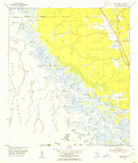
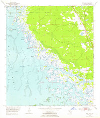
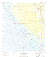
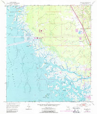
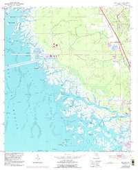
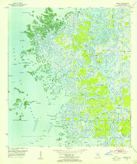
Red Level and its surrounding wetlands occupy this mid-century coastal survey, where the intricate transition from the Florida mainland to the Gulf of Mexico is defined by a dense network of tidal creeks and islands. The settlement of Red Level is located near the eastern edge, supported by phosphate Mines and proximity to the intersection of Highway 98. Local history is deeply etched into the terrain here, as evidenced by the Red Level Cem and Mt Olive Ch, while ancient human activity is marked by Shell Mounds and an Indian Mound along the Crystal River. The shoreline is a labyrinth of passages like South Pass and Little South Pass, leading toward Fort Island and numerous keys. This geography indicates a landscape where water travel through the Salt River and its tributaries was once as vital as the emerging road network on the higher ground.
Find a feature on this map
64 named features on this map. Tap any name to fly to it.
Don’t see what you’re looking for? This feature index may not catch every label — zoom into the map to look around manually.
Map Details
Editions of this 1954 Red Level Map
5 editions found
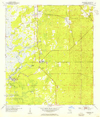
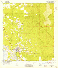
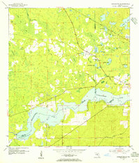
Other maps of this area
1954 · Homosassa
USGS Topo · 1:24,000
1954 · Crystal River
USGS Topo · 1:24,000
1954 · Yankeetown SE
USGS Topo · 1:24,000
1954 · Ozello
USGS Topo · 1:24,000

1954 · Gainesville
USGS Topo · 1:250,000
1955 · Withlacoochee Bay
USGS Topo · 1:24,000
1955 · Yankeetown
USGS Topo · 1:24,000

1955 · Plant City
USGS Topo · 1:250,000

1958 · Plant City
USGS Topo · 1:250,000

1958 · Gainesville
USGS Topo · 1:250,000