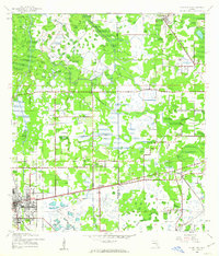
1958 Map of Plant City
USGS Topo · Published 1958About this map
The Gulf Coast of Florida during the mid-1950s is defined by its intricate network of river systems and coastal marshes, anchored by the growing urban centers of Tampa and Lakeland. This survey reveals the transition from the industrial and agricultural heartland around Plant City to the wild, undeveloped stretches of the Chassahowitzka National Wildlife Refuge. The logistics of the era are visible in the parallel routes of the Atlantic Coast Line and Seaboard Air Line railroads, which linked inland towns like Dade City and Zephyrhills to the coast. Along the shore, the Anclote Keys Lighthouse stands as a sentinel for mariners navigating the Gulf of Mexico. Further north, the landscape is punctuated by the winding Withlacoochee River and established fishing and spring-side communities like Crystal River and Homosassa Springs.
Find a feature on this map
128 named features on this map. Tap any name to fly to it.
Don’t see what you’re looking for? This feature index may not catch every label — zoom into the map to look around manually.
Map Details
Editions of this 1958 Plant City Map
This is the sole edition of this map. No revisions or reprints were ever made.
Historical Maps of Tampa Through Time
4 maps found