
1921 Map of Tampa
USGS Topo · Published 1921About this map
The Hillsborough River flows through a maritime and industrial hub in this early twentieth-century tactical survey. While the downtown area of Tampa and its suburbs like Hyde Park show a developed street grid, the surrounding region reflects a landscape of resource extraction and transit. Key transit corridors are defined by the Atlantic Coast Line and the Seaboard Air Line railroads, which connect agricultural and industrial outposts like Valrico and Mango to the deep-water channel in the bay.
Find a feature on this map
48 named features on this map. Tap any name to fly to it.
Don’t see what you’re looking for? This feature index may not catch every label — zoom into the map to look around manually.
Map Details
Editions of this 1921 Tampa Map
This is the sole edition of this map. No revisions or reprints were ever made.
Other maps of this area

1921 · Fort De Soto
USGS Topo · 1:62,500

1921 · St Petersburg
USGS Topo · 1:62,500

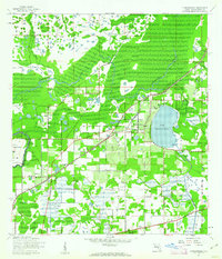
1942 · Cockroach Bay
USGS Topo · 1:31,680

1943 · Gandy Bridge
USGS Topo · 1:31,680

1943 · Port Tampa
USGS Topo · 1:31,680
1943 · Thonotosassa
USGS Topo · 1:24,000

1944 · Sulphur Springs
USGS Topo · 1:31,680
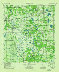
1944 · Mango
USGS Topo · 1:31,680

1944 · Ruskin
USGS Topo · 1:31,680

1944 · Tampa
USGS Topo · 1:31,680