
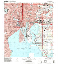
1944 Map of Tampa
USGS Topo · Published 1944About this map
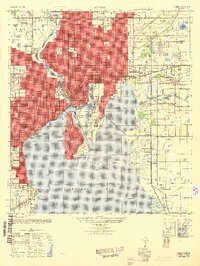
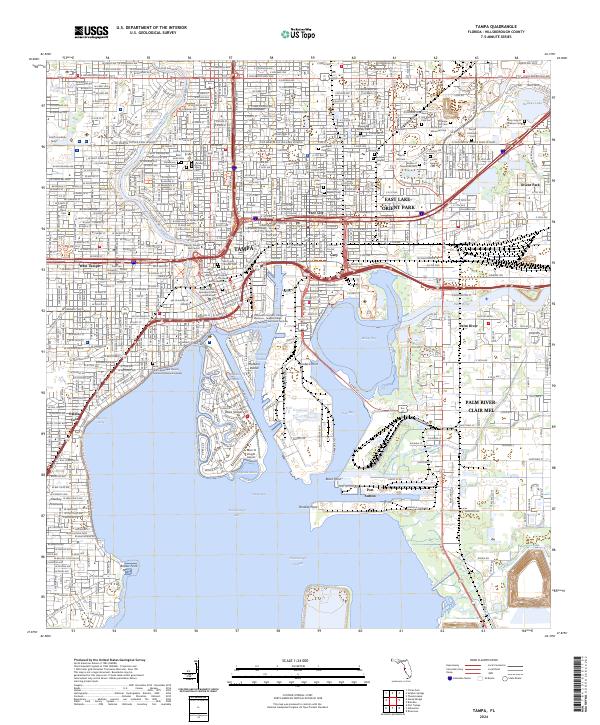
Ybor City stands as a focal point of this mid-1940s survey, showing the established grid and industrial character of the district alongside the Hillsborough River. The map captures a wartime era of urban expansion, where the developed residential reaches of Tampa meet the strategic waterfront. Dredged waterways like the Sparkman Channel and Ybor Channel define the harbor's edge, creating a sharp contrast between the industrial shipping docks at Hooker Point and the manicured residential curves of Davis Islands.
Find a feature on this map
68 named features on this map. Tap any name to fly to it.
Don’t see what you’re looking for? This feature index may not catch every label — zoom into the map to look around manually.
Map Details
Editions of this 1944 Tampa Map
This is the sole edition of this map. No revisions or reprints were ever made.
Historical Maps of Tampa Through Time
14 maps found

1921 Tampa
Hillsborough County, FL
1944 Tampa
Hillsborough County, FL
1947 Tampa
Hillsborough County, FL
1956 Tampa
Hillsborough County, FL
1956 Tampa
Hillsborough County, FL

1959 Tampa
Hillsborough County, FL
1960 Tampa
Hillsborough County, FL

1972 Tampa
Hillsborough County, FL
1995 Tampa
Hillsborough County, FL
2012 Tampa
Hillsborough County, FL
2015 Tampa
Hillsborough County, FL
2018 Tampa
Hillsborough County, FL

2021 Tampa
Hillsborough County, FL
2024 Tampa
Hillsborough County, FL