
1944 Map of Balm
USGS Topo · Published 1944About this map
Riverview and the surrounding Hillsborough County hinterland are defined by the winding course of the Alafia River and a network of named creeks in this mid-century survey. The landscape transitions from the riverbank at Alafia Sulphur Springs south toward the crossroads of Balm, where the Seaboard Air Line railway provides a critical transit link. Transportation is a central theme of the era, visible in the path of the Tamiami Trail and several significant crossings like Williams Bridge and Bell Shoals Bridge. Local life and industry are grounded in land holdings like the Tripple Creek Ranch and the presence of Tower 66. The map captures a detailed view of Florida’s interior before extensive modern suburbanization, noting numerous water bodies including Jerry Pond and Nutto Lake amidst the marshes and woodland of the various electoral precincts.
Find a feature on this map
26 named features on this map. Tap any name to fly to it.
Don’t see what you’re looking for? This feature index may not catch every label — zoom into the map to look around manually.
Map Details
Editions of this 1944 Balm Map
This is the sole edition of this map. No revisions or reprints were ever made.
Other maps of this area

1921 · Tampa
USGS Topo · 1:62,500

1944 · Mango
USGS Topo · 1:31,680

1944 · Ruskin
USGS Topo · 1:31,680

1944 · Tampa
USGS Topo · 1:31,680

1944 · Wimauma
USGS Topo · 1:31,680

1945 · Gadsden Point
USGS Topo · 1:31,680
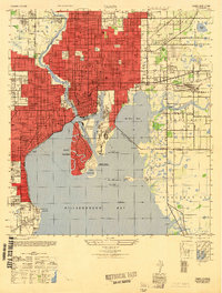
1947 · Tampa
USGS Topo · 1:25,000

1947 · Ruskin
USGS Topo · 1:25,000

1947 · Wimauma
USGS Topo · 1:25,000
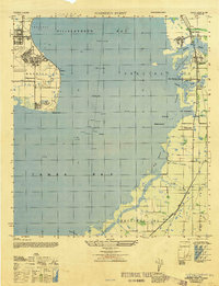
1947 · Gadsden Point
USGS Topo · 1:25,000