
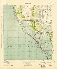
1921 Map of Sand Key
USGS Topo · Published 1921About this map
Clearwater and its surrounding citrus and pine lands are meticulously documented in this tactical survey conducted by the Corps of Engineers, U. S. Army. The map reveals a Florida coast before the heavy development of the mid-20th century, where the narrow barrier of Sand Key protects a long Dredged Channel through Clearwater Harbor. Small coastal settlements like Indian Rocks and Harbor View sit perched at the water's edge, while inland growth is concentrated around Largo and railroad-adjacent points such as Belleair and Ulmerton.
Find a feature on this map
33 named features on this map. Tap any name to fly to it.
Don’t see what you’re looking for? This feature index may not catch every label — zoom into the map to look around manually.
Map Details
Editions of this 1921 Sand Key Map
This is the sole edition of this map. No revisions or reprints were ever made.
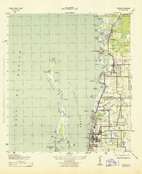
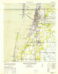
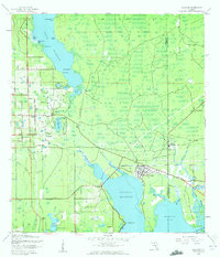
Other maps of this area

1921 · Fort De Soto
USGS Topo · 1:62,500

1921 · St Petersburg
USGS Topo · 1:62,500

1943 · St Petersburg
USGS Topo · 1:31,680

1943 · Pass-A-Grille
USGS Topo · 1:31,680
1943 · Bay Pines
USGS Topo · 1:31,680

1943 · Safety Harbor
USGS Topo · 1:31,680
1943 · Dunedin
USGS Topo · 1:31,680
1943 · Clearwater
USGS Topo · 1:24,000
1943 · Oldsmar
USGS Topo · 1:24,000

1944 · Oldsmar
USGS Topo · 1:31,680