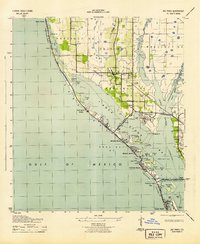
1943 Map of Bay Pines
USGS Topo · Published 1943About this map
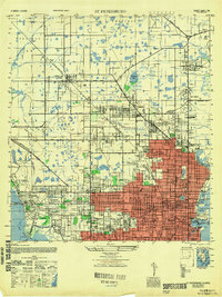
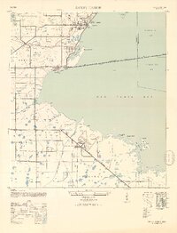
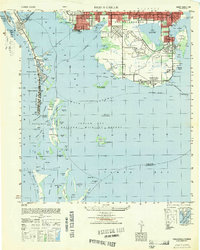
Boca Ciega Bay and the Pinellas barrier islands appear here during the wartime years, showing a landscape defined by emerging beach communities and large-scale military or institutional infrastructure. The prominence of the US Veterans Hospital at Bay Pines serves as a major focal point along the Seaboard Air Line railroad. Further south, the map details the early development of Treasure Island City and Sunset Beach on Treasure Island, linked to the mainland by the Welch Causeway and Treasure Island Causeway. Inland, the rural character of the era is evident in the presence of the Seminole Sch and Seminole Ch near Oakhurst. Numerous keys and islands dot the bay, including Kitchen Key and Broken Island, offering a look at the shoreline before the extensive dredging and residential finger-island developments that would later reshape this coast.
Find a feature on this map
54 named features on this map. Tap any name to fly to it.
Don’t see what you’re looking for? This feature index may not catch every label — zoom into the map to look around manually.
Map Details
Editions of this 1943 Bay Pines Map
3 editions found
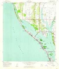
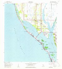
Other maps of this area

1921 · Sand Key
USGS Topo · 1:62,500

1921 · Fort De Soto
USGS Topo · 1:62,500

1921 · St Petersburg
USGS Topo · 1:62,500

1943 · St Petersburg
USGS Topo · 1:31,680

1943 · Pass-A-Grille
USGS Topo · 1:31,680

1943 · Safety Harbor
USGS Topo · 1:31,680
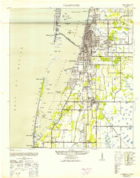
1943 · Clearwater
USGS Topo · 1:24,000
1947 · St Petersburg
USGS Topo · 1:25,000
1947 · Safety Harbor
USGS Topo · 1:24,000
1949 · Pass-A-Grille
USGS Topo · 1:25,000