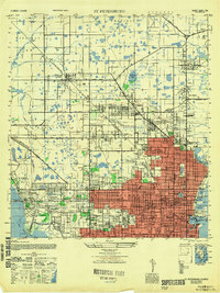
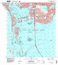
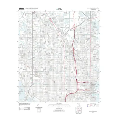
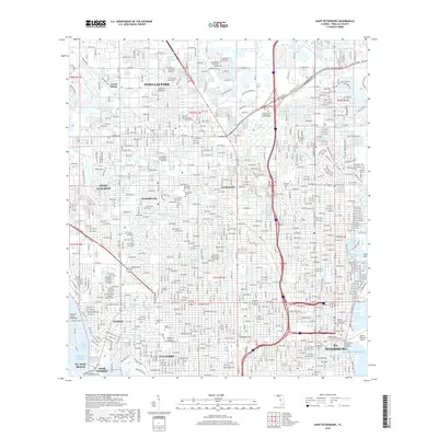
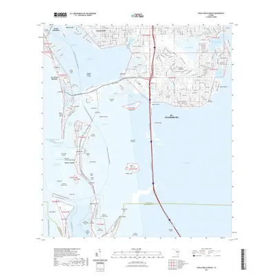
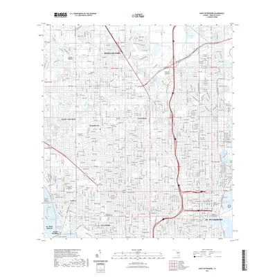
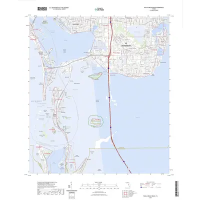
1947 Map of St Petersburg
USGS Topo · Published 1947About this map
Pinellas Park and the developing northern reaches of St. Petersburg are documented in this 1947 post-war survey, capturing a landscape in transition between agricultural precincts and suburban density. The map details a sophisticated network of hospitals including St Anthony Hospital and Mercy Hospital, alongside numerous neighborhood schools such as Harris School and Norwood School. Aviation history is prominent, noting both the active Albert Whitted Airport on the waterfront and the Piper Fuller Airport (Abandoned) near Tyrone Blvd.
Find a feature on this map
90 named features on this map. Tap any name to fly to it.
Don’t see what you’re looking for? This feature index may not catch every label — zoom into the map to look around manually.
Map Details
Editions of this 1947 St Petersburg Map
This is the sole edition of this map. No revisions or reprints were ever made.
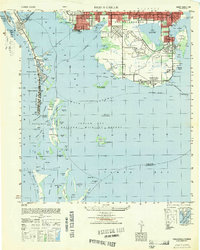
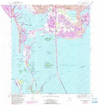
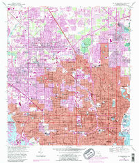
Historical Maps of Saint Petersburg Through Time
27 maps found

1921 Sand Key
Pinellas County, FL

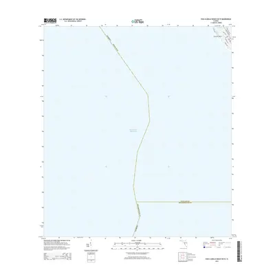
1943 Pass-A-Grille
Pinellas County, FL

1943 St Petersburg
Pinellas County, FL
1947 St Petersburg
Pinellas County, FL
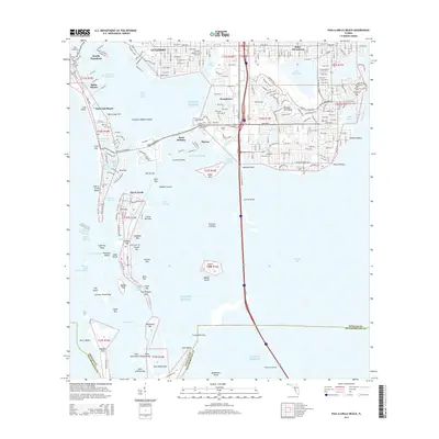
1949 Pass-A-Grille
Pinellas County, FL
1956 Pass-A-Grille Beach
Pinellas County, FL
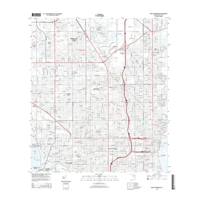
1956 St Petersburg
Pinellas County, FL

1988 St Petersburg
Pinellas County, FL
1994 Pass-A-Grille Beach
Pinellas County, FL
1998 Saint Petersburg
Pinellas County, FL
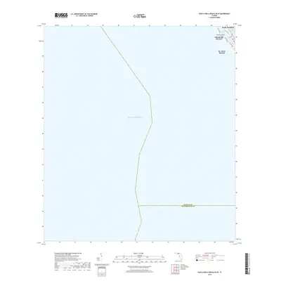
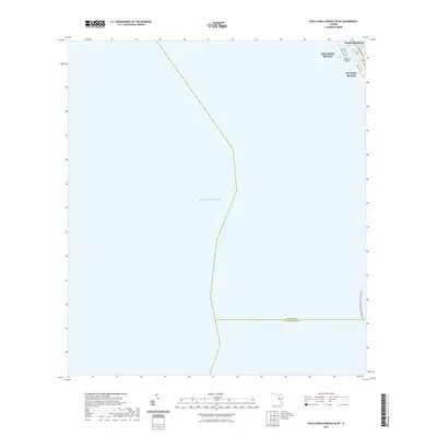
2012 Pass-a-Grille Beach OE W
Pinellas County, FL
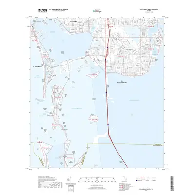
2012 Pass-a-Grille Beach
Pinellas County, FL
2012 Saint Petersburg
Pinellas County, FL
2015 Pass-a-Grille Beach OE W
Pinellas County, FL
2015 Pass-a-Grille Beach
Pinellas County, FL
2015 Saint Petersburg
Pinellas County, FL
2018 Pass-a-Grille Beach OE W
Pinellas County, FL
2018 Pass-a-Grille Beach
Pinellas County, FL
2018 Saint Petersburg
Pinellas County, FL
2021 Pass-a-Grille Beach OE W
Pinellas County, FL
2021 Pass-a-Grille Beach
Pinellas County, FL
2021 Saint Petersburg
Pinellas County, FL
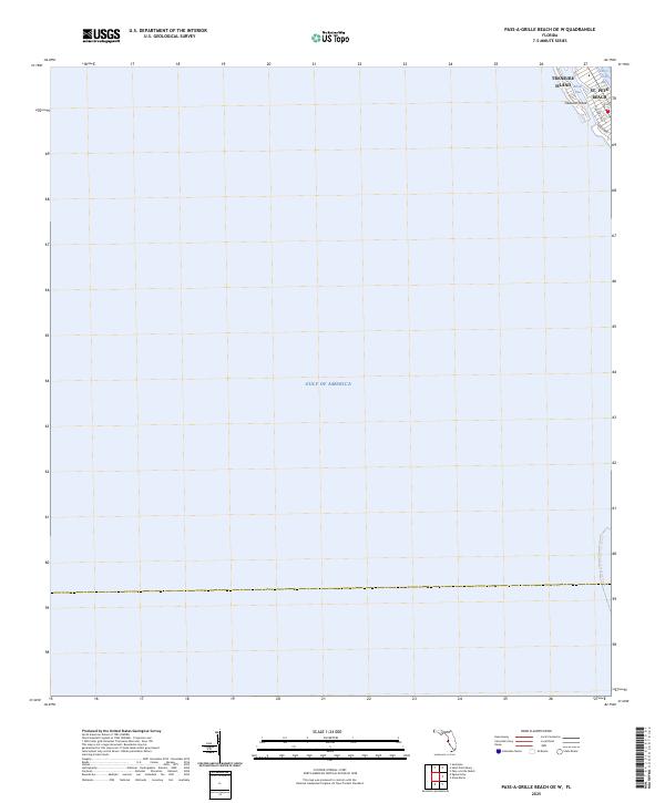
2024 Pass-a-Grille Beach OE W
Pinellas County, FL
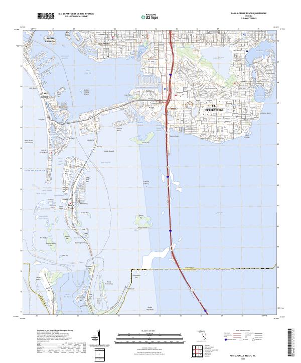
2024 Pass-a-Grille Beach
Pinellas County, FL
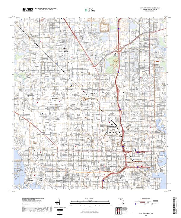
2024 Saint Petersburg
Pinellas County, FL
2025 Pass-a-Grille Beach OE W
Pinellas County, FL
2025 Pass-a-Grille Beach
Pinellas County, FL